
Grübenfeld an der Kalten Moldau, Geotop in Landkreis Freyung-Grafenau in Bavaria, Germany
Location: Frauenberger und Duschlberger Wald
Elevation above the sea: 840 m
Length: 2,500 m
Width: 400 m
Part of: Cultural heritage D-2-7148-0008 in Frauenberger und Duschlberger Wald
GPS coordinates: 48.81979,13.74829
Latest update: March 10, 2025 18:44
Dreisessel
5.9 km
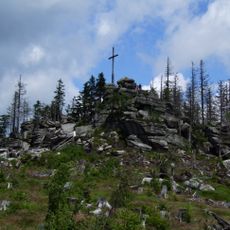
Haidel
5.1 km
Ženijní můstek
7.4 km
Pošumavská jižní dráha
3.4 km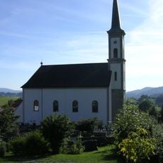
Heiligste Dreifaltigkeit
7.5 km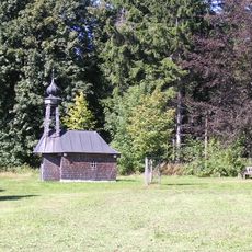
Schwendreut
7.2 km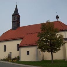
St. Nikolaus (Grainet)
7.4 km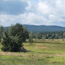
Spálený luh
4.1 km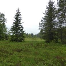
Haidfilz
1.4 km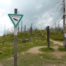
Hochwald
7.2 km
Most Údolské cesty přes Údolský potok v Novém Údolí
3.4 km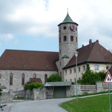
Pfarrkirche St. Maximilian
2.2 km
St. Karl Borromäus
7.3 km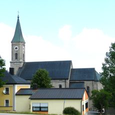
St. Valentin
3.9 km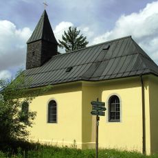
St. Johannes Nepomuk
5.2 km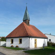
Alte Ausstattung der modernen Kapelle
7.2 km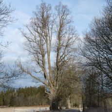
Radvanovická lípa
7.6 km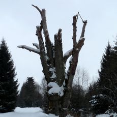
Jilm v Novém Údolí
4.1 km
Zwicklfilz
6.8 km
Most Údolské cesty přes Světlou mezi Novým Údolím a Stožcem
4.5 km
Ehemalige Pfarrkirche
7.4 km
Katholische Pfarrkirche Hl. Dreifaltigkeit
7.5 km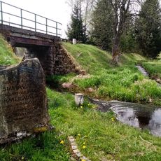
Pomník Šumava, krajina roku v Novém Údolí
3.4 km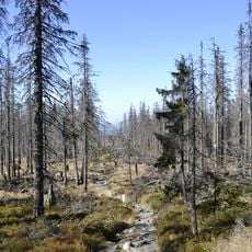
Hochwald und Urwald am Dreisessel
6.2 km
Zwicklfilz
6.8 km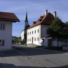
Pfarrhaus
7.5 km
Bischofsreuter Waldhufen
897 m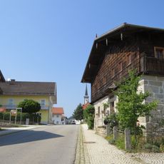
Bauernhaus
7.4 kmVisited this place? Tap the stars to rate it and share your experience / photos with the community! Try now! You can cancel it anytime.
Discover hidden gems everywhere you go!
From secret cafés to breathtaking viewpoints, skip the crowded tourist spots and find places that match your style. Our app makes it easy with voice search, smart filtering, route optimization, and insider tips from travelers worldwide. Download now for the complete mobile experience.

A unique approach to discovering new places❞
— Le Figaro
All the places worth exploring❞
— France Info
A tailor-made excursion in just a few clicks❞
— 20 Minutes