
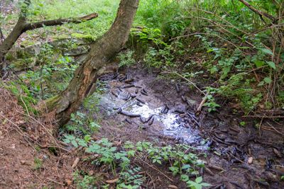
Quellbereiche und Quellbäche am Lohweg, nature reserve in Germany
Location: Lage
Inception: 2004
GPS coordinates: 51.93635,8.75847
Latest update: March 13, 2025 12:30

Jagdschloss Lopshorn
4.3 km
Dörenpass
1.4 km
Hünenkapelle
4.5 km
Bahnhofstraße 1
5 km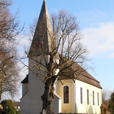
Kirche Stapelage
1.8 km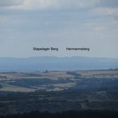
Hermannsberg
1.5 km
Bauernburg Stapelage
1.8 km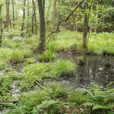
Hasselbach /Schwarzenbrink / Heidemoor am Kupferberg
4.2 km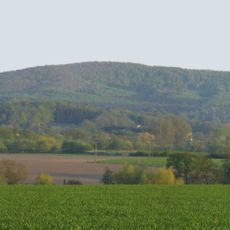
Großer Ehberg
2 km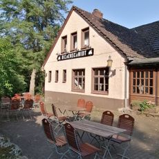
Bienenschmidt
2.4 km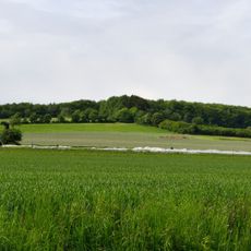
Kupferberg
3.4 km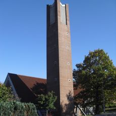
Maria Königin des Friedens
2 km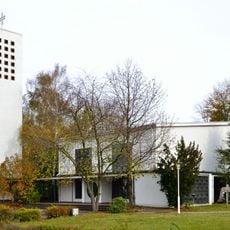
Heilig Geist (Detmold)
2.5 km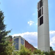
Evangelisch-reformierte Kirche Pivitsheide
2.4 km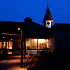
Johanneskirche
4.8 km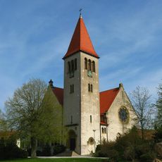
Kirche Helpup (Oerlinghausen)
4.9 km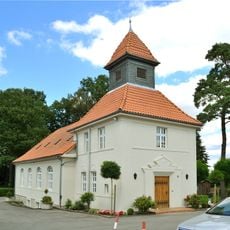
Dorfkirche Pivitsheide
2.3 km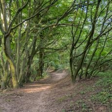
Abgrabung Retlager Bach
3.8 km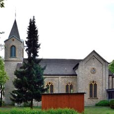
Evangelische Kirche
3.1 km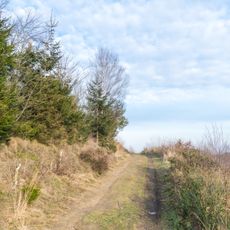
Tönsberg
4.8 km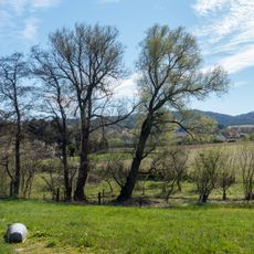
LSG-Hoerster Bachtal
1.5 km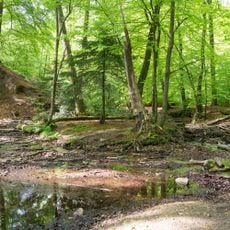
Donoperteich-Hiddeser Bent
4 km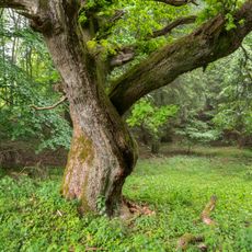
LSG-Teutoburger Wald mit Lippischem Wald, Osning Kamm und oestlichem Osning-Vorland
3.7 km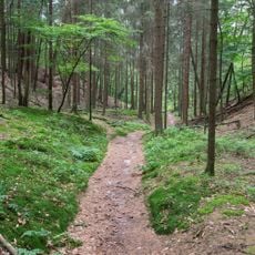
Dörenschlucht
932 m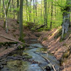
LSG-Hasselbach
3.2 km
LSG-Hoerster Egge
2.1 km
Donoperteich-Hiddeser Bent
4.2 km
Hermannsberg
1.4 kmReviews
Visited this place? Tap the stars to rate it and share your experience / photos with the community! Try now! You can cancel it anytime.
Discover hidden gems everywhere you go!
From secret cafés to breathtaking viewpoints, skip the crowded tourist spots and find places that match your style. Our app makes it easy with voice search, smart filtering, route optimization, and insider tips from travelers worldwide. Download now for the complete mobile experience.

A unique approach to discovering new places❞
— Le Figaro
All the places worth exploring❞
— France Info
A tailor-made excursion in just a few clicks❞
— 20 Minutes