
Bremen 1968 37. Änderung, protected area in Germany
Location: Bremen-Nord
Location: Bremen-Süd
Location: Bremen-Ost
Inception: July 2, 1968
GPS coordinates: 53.11250,8.73831
Latest update: September 21, 2025 19:02
U-Boot-Bunker Hornisse
575 m
Fatih-Moschee, Bremen
1 km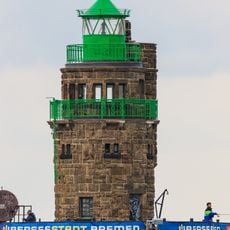
Molenfeuer Überseehafen Süd
941 m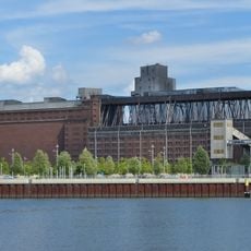
Getreideverkehrsanlage
975 m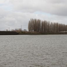
Shipyard Island, Bremen
409 m
Andreaskirche (Bremen)
1.2 km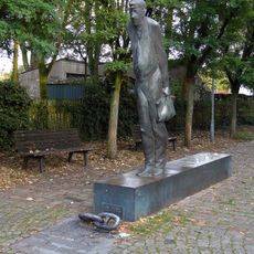
Zur Schicht
1.3 km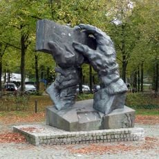
Arbeitende Hände
1.5 km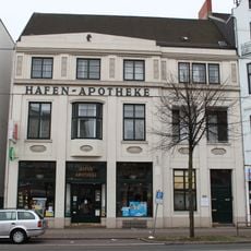
Hafenapotheke
1.4 km
Villa Oesselmann
1.2 km
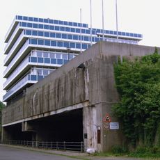
A.G. „Weser“, Erweiterungsbau des Verwaltungsgebäudes
855 m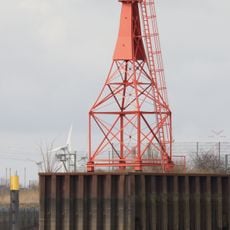
Molenfeuer Überseehafen Nord
634 m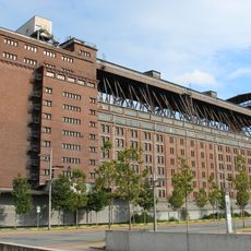
Getreideverkehrsanlage, Silo I
1 km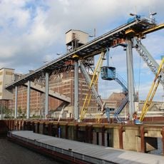
Getreideverkehrsanlage, Pier A
1 km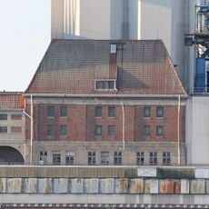
Getreideverkehrsanlage, Verwaltungsgebäude
1.1 km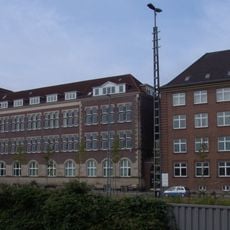
Cultural heritage monuments in Häfen
835 m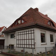
Wohnhaus Rostocker Straße 27
1.7 km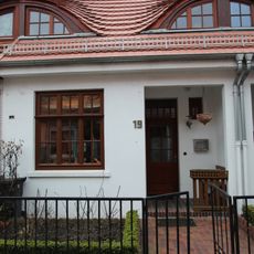
Wohnhaus Feierabendweg 19
1.7 km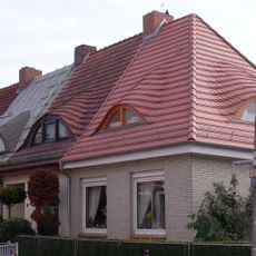
Wohnhaus Rostocker Straße 25
1.7 km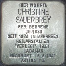
Stolperstein dedicated to Christine Sauerbrey
1.4 km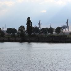
Molenhaus und Molenabschnitt
1 km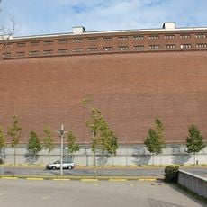
Getreideverkehrsanlage, Silo II
959 m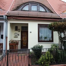
Wohnhaus Feierabendweg 20
1.7 km
A.G. „Weser“, Verwaltungsgebäude
844 m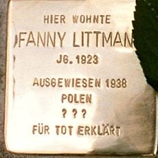
Stolperstein dedicated to Fanny Littmann
1.3 km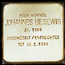
Stolperstein dedicated to Johannes Biesewig
1.3 km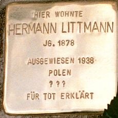
Stolperstein dedicated to Hermann Littmann
1.3 km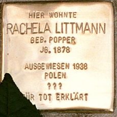
Stolperstein dedicated to Rachela Littmann
1.3 kmReviews
Visited this place? Tap the stars to rate it and share your experience / photos with the community! Try now! You can cancel it anytime.
Discover hidden gems everywhere you go!
From secret cafés to breathtaking viewpoints, skip the crowded tourist spots and find places that match your style. Our app makes it easy with voice search, smart filtering, route optimization, and insider tips from travelers worldwide. Download now for the complete mobile experience.

A unique approach to discovering new places❞
— Le Figaro
All the places worth exploring❞
— France Info
A tailor-made excursion in just a few clicks❞
— 20 Minutes