
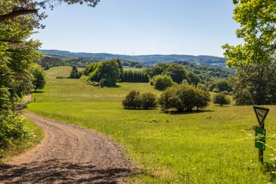
Naturschutzgebiet Amdorfer Viehweide, protected area in Germany
Location: Herborn
Inception: 1982
GPS coordinates: 50.67949,8.26212
Latest update: March 4, 2025 15:36
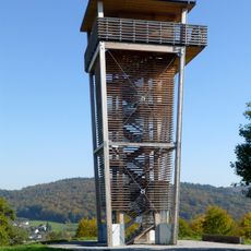
Dillblick
2.6 km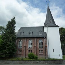
Evangelische Kirche Hörbach
1.5 km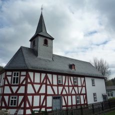
Evangelische Kirche Uckersdorf
1.9 km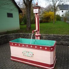
Laufbrunnen
2 km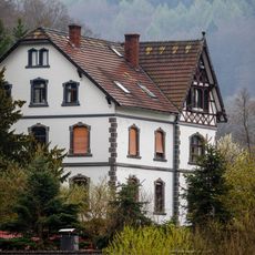
Villa Am Mühlgraben 17
1.7 km
Hörbacher Viehweide
686 m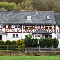
Fachwerkbaugruppe Bahnhofsweg 7/9
761 m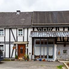
Fachwerkeinhaus Im Oberdorf 1
658 m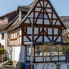
Fachwerkhaus Alte Hauptstraße 27
1.9 km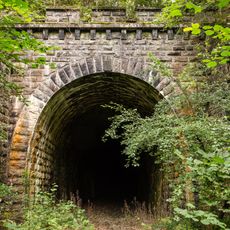
'Erdbacher Tunnel'
1.9 km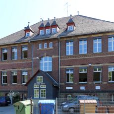
Ehemalige Schule
2.7 km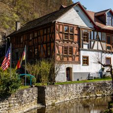
Alte Dorfmühle Am Mühlgraben 2
1.8 km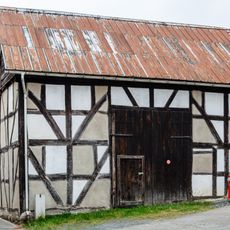
Fachwerkscheune Amdorfstraße o. Nr.
698 m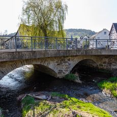
Amdorfbachbrücke
2 km
Wohn- und Atelierbau Hofmann
2.7 km
Bahnhof
2 km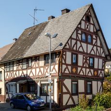
Fachwerkhaus Alte Hauptstraße 19/21
1.9 km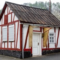
Fachwerkhaus Am Heubach 1
649 m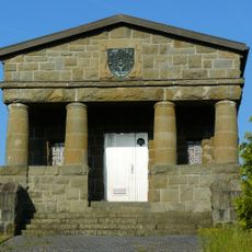
Hochbehälter 'Rehberg'
2.1 km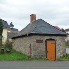
Backhaus
2 km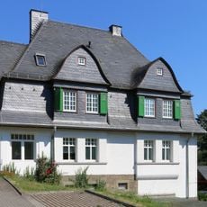
Nassaustraße 36
2.7 km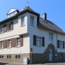
Freiherr-v.-Stein-Straße 1/Naussaustraße
2.7 km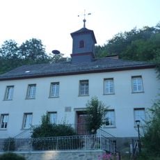
Betsaal und Schule Amdorfstraße 28
722 m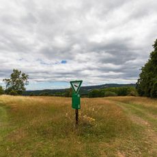
Hörbacher Viehweide
722 m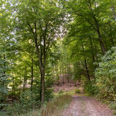
Waldgebiet zwischen Uckersdorf und Burg
2.5 km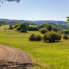
Amdorfer Viehweide
20 m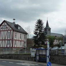
Altes Bürgermeisteramt
1.9 km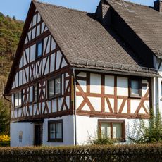
Fachwerkhaus Uckersdorfer Hauptstraße 13
1.9 kmReviews
Visited this place? Tap the stars to rate it and share your experience / photos with the community! Try now! You can cancel it anytime.
Discover hidden gems everywhere you go!
From secret cafés to breathtaking viewpoints, skip the crowded tourist spots and find places that match your style. Our app makes it easy with voice search, smart filtering, route optimization, and insider tips from travelers worldwide. Download now for the complete mobile experience.

A unique approach to discovering new places❞
— Le Figaro
All the places worth exploring❞
— France Info
A tailor-made excursion in just a few clicks❞
— 20 Minutes