
Landschaftsschutzgebiet im Landkreis St. Wendel - in der Gemeinde Nohfelden
Landschaftsschutzgebiet im Landkreis St. Wendel - in der Gemeinde Nohfelden, Landschaftsschutzgebiet im Saarland mit der Kennung L 2.02.03
Location: Nohfelden
Inception: 1976
GPS coordinates: 49.56019,7.05357
Latest update: March 15, 2025 04:10
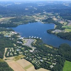
Bostalsee
1.6 km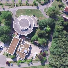
Europäische Akademie Otzenhausen EAO
7.1 km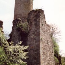
Veldenz Castle
7.2 km
Peterberg
3.8 km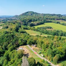
Vicus Wareswald
7.4 km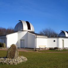
Peterberg Observatory
4.1 km
Bosener Mühle
1.8 km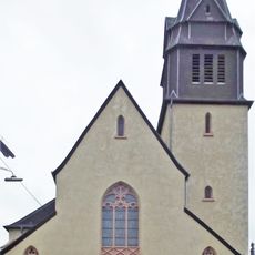
St. Stephanus
5.6 km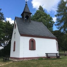
Peterbergkapelle
3.6 km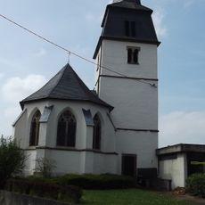
Kreuzerhöhung
6 km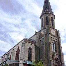
Saint Peter Church
7.2 km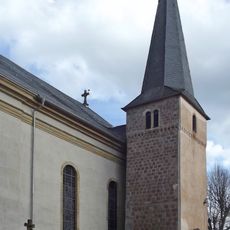
St. Martin
1.3 km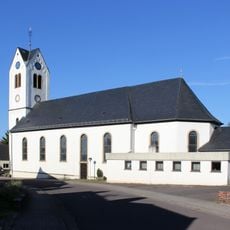
St. Valentin
6.4 km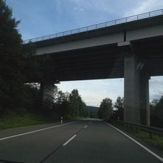
Primstalbrücke
7.2 km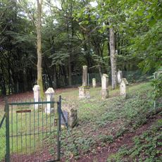
Jewish cemetery, Gonnesweiler
2.2 km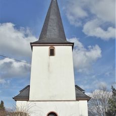
Evangelische Kirche
1.2 km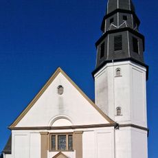
Christkönig-Kirche
5.8 km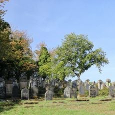
Jüdischer Friedhof
2.7 km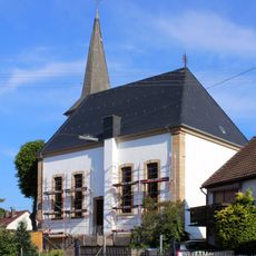
Evangelische Kirche
3.9 km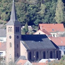
Mariä Himmelfahrt
7.6 km
Evangelische Kirche
7.1 km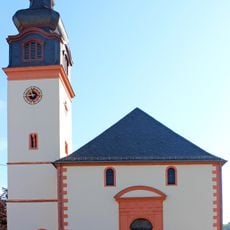
St. Wilfridus
6.2 km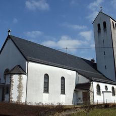
St. Katharina
4.7 km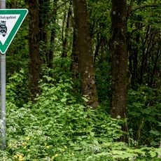
Bostalsee
906 m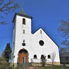
Mariä Himmelfahrt
1.3 km
Evangelische Kirche
4.4 km
Rosenkranzkönigin
4.2 km
Maria Himmelfahrt
5.1 kmReviews
Visited this place? Tap the stars to rate it and share your experience / photos with the community! Try now! You can cancel it anytime.
Discover hidden gems everywhere you go!
From secret cafés to breathtaking viewpoints, skip the crowded tourist spots and find places that match your style. Our app makes it easy with voice search, smart filtering, route optimization, and insider tips from travelers worldwide. Download now for the complete mobile experience.

A unique approach to discovering new places❞
— Le Figaro
All the places worth exploring❞
— France Info
A tailor-made excursion in just a few clicks❞
— 20 Minutes