
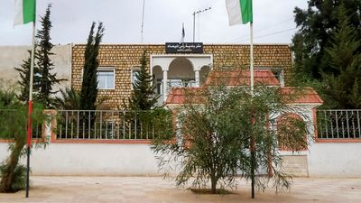
Ouled Sassi, municipality of Algeria
Location: Sidi Khaled District
GPS coordinates: 34.18472,4.44944
Latest update: April 24, 2025 11:51

Beni Hammad Fort
184 km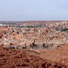
M'zab
202 km
Ghoufi
184.5 km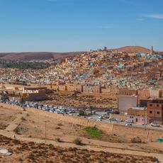
Beni Isguen
202.8 km
Gemellae
110.7 km
Rock art of the Djelfa region
110.8 km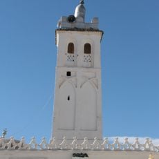
Sidi Okba Mosque
147.2 km
Palais de Kourdane
198.1 km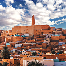
Ksar Melika
202.3 km
Hammam Ouled Tebben
188.7 km
Roman bridge in El Kantara
163.6 km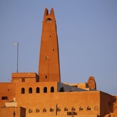
Gran Mezquita de Gardaya
202.4 km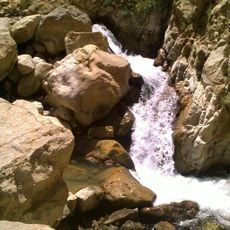
Cascades de Berbaga
206.8 km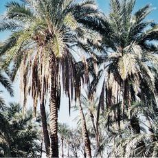
Filiach
140.5 km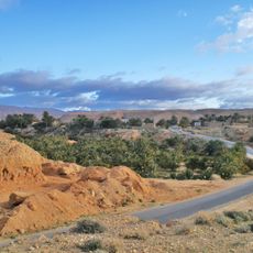
Baniane
172.7 km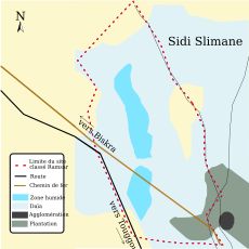
Chott Sidi Slimane
181.3 km
Lapidarium of El Kantara
162.5 km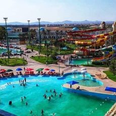
Parc aquatique AquaPalm
140.8 km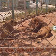
Zoo
120.8 km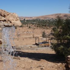
Zoo des reptiles d'El Atteuf
205.8 km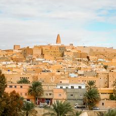
Ksar Bounoura
201.8 km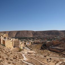
Ksar El Atteuf
201.2 km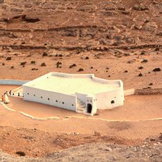
Mosque Sidi Brahim
201.4 km
Djelfa Land
118.4 km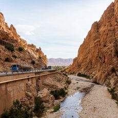
El Kantara Gorge
163.6 km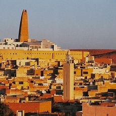
Ksar Ghardaia
202.1 km
Messaoudi Park
192.5 km
قصر كوردان
198.1 kmReviews
Visited this place? Tap the stars to rate it and share your experience / photos with the community! Try now! You can cancel it anytime.
Discover hidden gems everywhere you go!
From secret cafés to breathtaking viewpoints, skip the crowded tourist spots and find places that match your style. Our app makes it easy with voice search, smart filtering, route optimization, and insider tips from travelers worldwide. Download now for the complete mobile experience.

A unique approach to discovering new places❞
— Le Figaro
All the places worth exploring❞
— France Info
A tailor-made excursion in just a few clicks❞
— 20 Minutes