
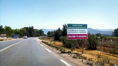
Souarekh, place in El Taref, Algeria
Location: El Kala District
Elevation above the sea: 3 m
GPS coordinates: 36.88199,8.56420
Latest update: April 26, 2025 09:41
Jendouba
28.3 km
El Kala National Park
15 km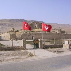
Bulla Regia
39.9 km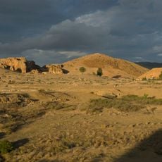
Chemtou
43.4 km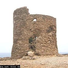
Bastion de France
20.2 km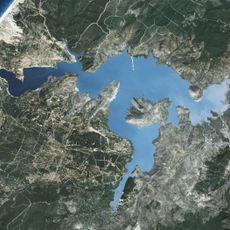
Sidi El Barrak Dam
36.8 km
Thuburnica
40.4 km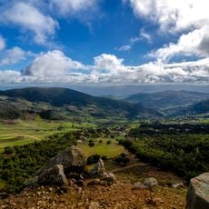
Djebel Ghorra (Jendouba)
36.2 km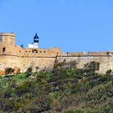
Tabarka lighthouse
19.5 km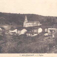
Aïn Draham church
16.2 km
Saint Maximus of Tabarka Church (Tabarka)
18.9 km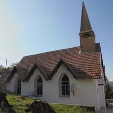
Beni M'Tir church
22 km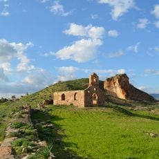
Chemtou church
43.5 km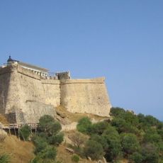
Tabarka Fort
19.6 km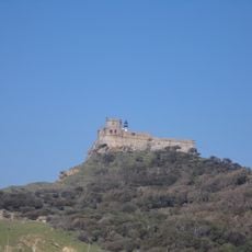
Fort génois de Tabarka
19.7 km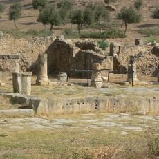
Temple of Apollo
39.7 km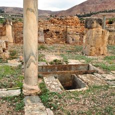
Church of the priest Alexander
40 km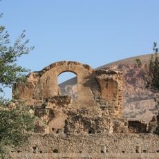
Julia Memmia baths
39.9 km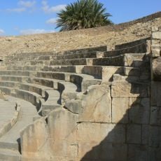
Theatre of Bulla Regia
39.9 km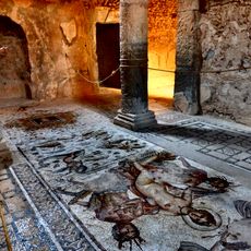
House of Amphitrite
39.4 km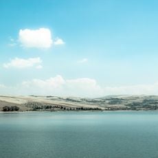
Bou Heurtma Reservoir
31.5 km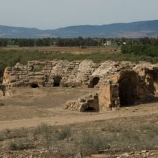
Theatre of Chemtou
43.5 km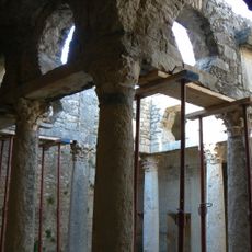
House of the Hunt
39.6 km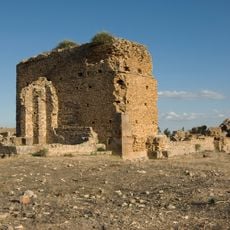
Basilica of Chemtou
43.6 km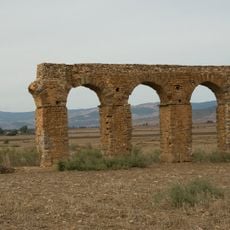
Aqueduct of Chemtou
43.1 km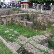
Guesguès
19 km
Thermes
43.2 km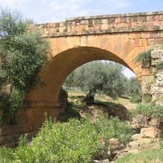
Roman bridge of Thuburnica
40.4 kmReviews
Visited this place? Tap the stars to rate it and share your experience / photos with the community! Try now! You can cancel it anytime.
Discover hidden gems everywhere you go!
From secret cafés to breathtaking viewpoints, skip the crowded tourist spots and find places that match your style. Our app makes it easy with voice search, smart filtering, route optimization, and insider tips from travelers worldwide. Download now for the complete mobile experience.

A unique approach to discovering new places❞
— Le Figaro
All the places worth exploring❞
— France Info
A tailor-made excursion in just a few clicks❞
— 20 Minutes