
Ilcenes pils, טירה באסטוניה
Location: Antsla Rural Municipality
GPS coordinates: 57.86213,26.60825
Latest update: March 29, 2025 16:47
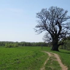
Tamme-Lauri oak
6.4 km
Karula National Park
18 km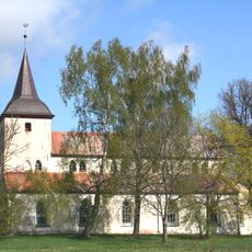
Urvaste Church
6.6 km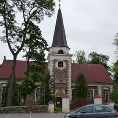
Kanepi Church
16.5 km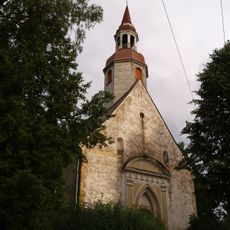
Sangaste Church
17.7 km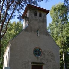
Heimtali Church
13.8 km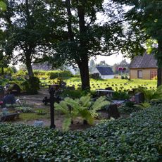
Kanepi-Mäe Cemetery
16.5 km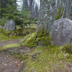
Osula kalmistu
12.7 km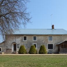
Sänna mäeveski
18 km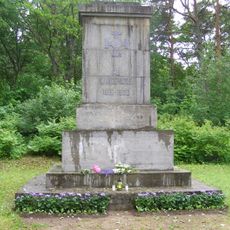
Karula Vabadussõja mälestussammas
18.9 km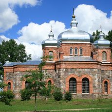
Ilmjärve Orthodox Church
14.4 km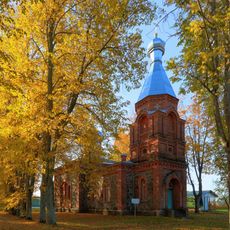
Saint Elijah the Prophet Church in Kraavi
3.7 km
Mäe-Lehtsoo tamm
7.9 km
Kaika Orthodox Church
13.8 km
Karste hiietamm
17.2 km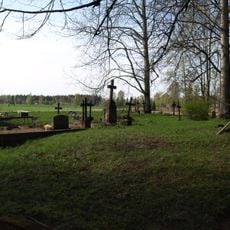
Kraavi kalmistu
3.5 km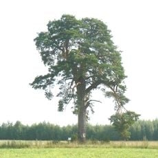
Kuldijüri mänd
14.2 km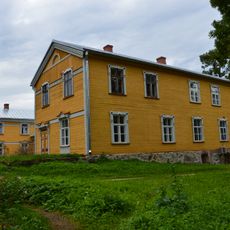
Sänna manor house
16.9 km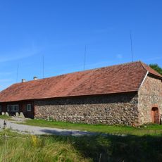
Soe Inn
17.1 km
Tiidu mänd
18.9 km
Lake Tsooru
13.5 km
Soehavva rändrahn
19.3 km
Nursi magasiait
18.2 km
Tsooru Manor Park
13.5 km
Monument to the War of Independence in Sõmerpalu
13.1 km
Sänna lahingu mälestussammas
17 km
Tsooru Library
13.5 km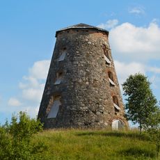
Tsooru manor windmill
13.6 kmVisited this place? Tap the stars to rate it and share your experience / photos with the community! Try now! You can cancel it anytime.
Discover hidden gems everywhere you go!
From secret cafés to breathtaking viewpoints, skip the crowded tourist spots and find places that match your style. Our app makes it easy with voice search, smart filtering, route optimization, and insider tips from travelers worldwide. Download now for the complete mobile experience.

A unique approach to discovering new places❞
— Le Figaro
All the places worth exploring❞
— France Info
A tailor-made excursion in just a few clicks❞
— 20 Minutes