
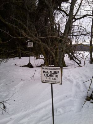
Vedu maa-alune kalmistu, Friedhof in Estland
Location: Tartu Rural Municipality
GPS coordinates: 58.50610,26.78667
Latest update: September 25, 2025 07:39
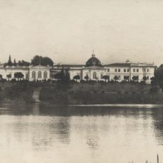
Raadi Manor
12.2 km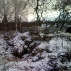
Kärkna Abbey
11.7 km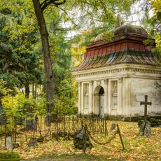
Old St. John's cemetery
13 km
Raadi-Kruusamäe
12.5 km
Raadi manor park
12.1 km
Ice Age Centre
6.8 km
Maarja-Magdaleena Church
11.8 km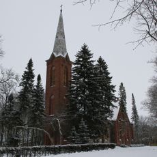
Äksi Church
8.9 km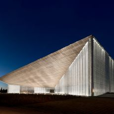
Main building of the Estonian National Museum
12.6 km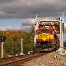
Jänese railway bridge
11 km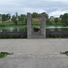
World War II Memorial in Tartu
12.4 km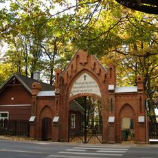
Ancien cimetière de Saint-Pierre
12.9 km
Teller's Chapel
13.1 km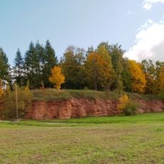
Kalmistu outcrop
13.1 km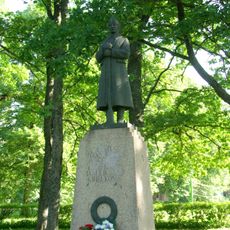
Monument of the War of Independence
9 km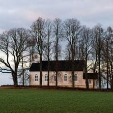
Vara Church
5.4 km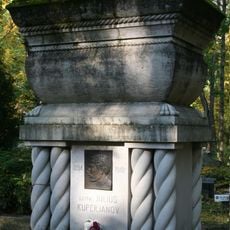
Monument to Julius Kuperjanov
12.7 km
Palalinn
5.5 km
Majoraadi park
11.9 km
Tartu jewish cemetery
13.3 km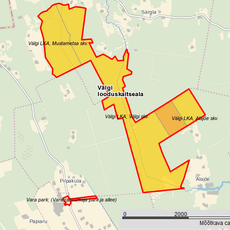
Välgi Nature Reserve
8.8 km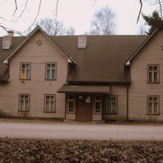
Tammistu Library
10.9 km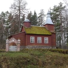
Välgi Orthodox Church
10.8 km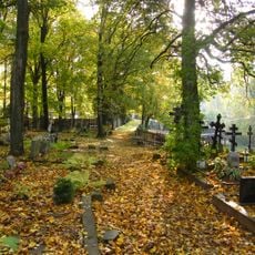
Cimetière des vieux croyants à Tartu
13.3 km
Upside Down House
12.8 km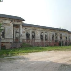
Raadi manor house
12.2 km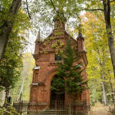
Arrak Chapel
12.8 km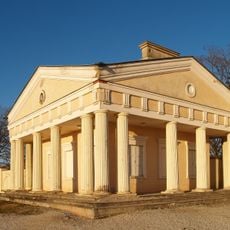
Raadi mõisa väravahoone
12 kmReviews
Visited this place? Tap the stars to rate it and share your experience / photos with the community! Try now! You can cancel it anytime.
Discover hidden gems everywhere you go!
From secret cafés to breathtaking viewpoints, skip the crowded tourist spots and find places that match your style. Our app makes it easy with voice search, smart filtering, route optimization, and insider tips from travelers worldwide. Download now for the complete mobile experience.

A unique approach to discovering new places❞
— Le Figaro
All the places worth exploring❞
— France Info
A tailor-made excursion in just a few clicks❞
— 20 Minutes