
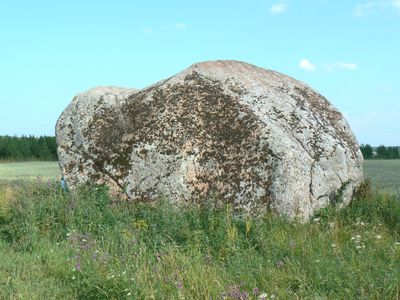
Varja rändrahn
Location: Lüganuse Rural Municipality
GPS coordinates: 59.41709,27.10698
Latest update: March 8, 2025 04:31
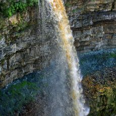
Valaste Waterfall
13.3 km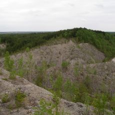
Aidu Quarry
11.6 km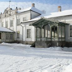
Aa Manor
2.6 km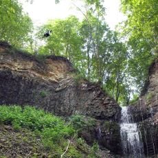
Ontika Cliff
11.2 km
Saka Manor
4.7 km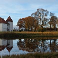
Purtse Castle
5.3 km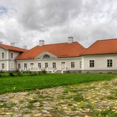
Kukruse manor
14.8 km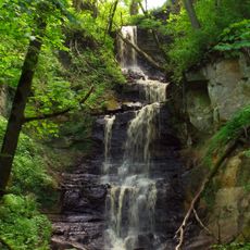
Saka Waterfall
5 km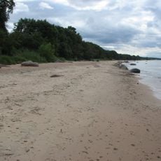
Aa Beach
3.3 km
Järve manor
11.3 km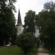
Lüganuse Church
5.7 km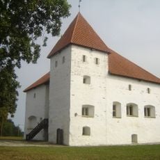
Purtse Manor
5.3 km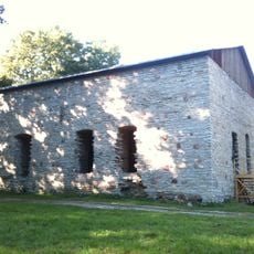
Järve Castle
11.3 km
Uhaku Karst Protection Area
6.9 km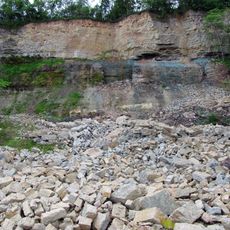
Saka Cliff
6.9 km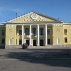
Kohtla-Järve Cultural Centre
9.6 km
Kukruse manor cemetery
14.7 km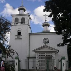
Orthodox church of the Transfiguration of Jesus Christ in Kohtla-Järve
8 km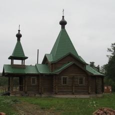
Aseri Orthodox Church
14.5 km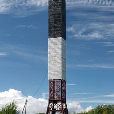
Moldova light beacon
3.4 km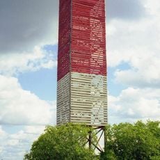
Valaste old light beacon
14.9 km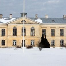
Ontika mõisa peahoone
11.1 km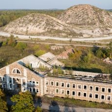
Main building of Sompa mine
13.7 km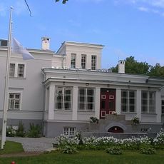
Saka mõisa peahoone
4.7 km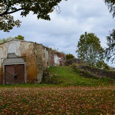
Kukruse mõisa kuivati
14.9 km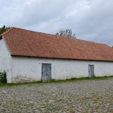
Kukruse mõisa ait
14.9 km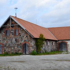
Kukruse mõisa hobusetall
14.6 km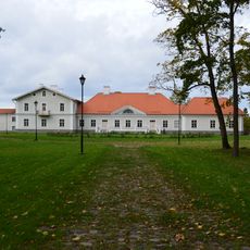
Kukruse manor house
14.8 kmReviews
Visited this place? Tap the stars to rate it and share your experience / photos with the community! Try now! You can cancel it anytime.
Discover hidden gems everywhere you go!
From secret cafés to breathtaking viewpoints, skip the crowded tourist spots and find places that match your style. Our app makes it easy with voice search, smart filtering, route optimization, and insider tips from travelers worldwide. Download now for the complete mobile experience.

A unique approach to discovering new places❞
— Le Figaro
All the places worth exploring❞
— France Info
A tailor-made excursion in just a few clicks❞
— 20 Minutes