
Jõelähtme Churchyard, churchyard in Estonia
Location: Jõelähtme Rural Municipality
GPS coordinates: 59.44609,25.12420
Latest update: March 19, 2025 18:25
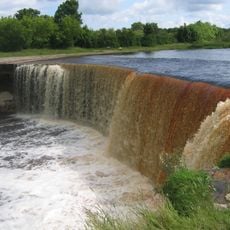
Jägala Waterfall
3.1 km
Maardu Manor
5.9 km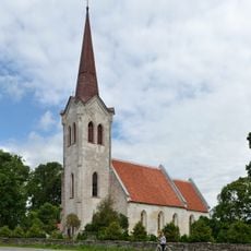
Jõelähtme Church
21 m
Jägala hill fort
3 km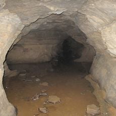
Ülgase Caves
5.2 km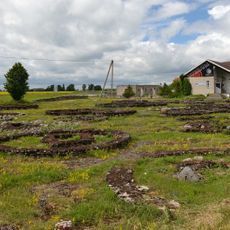
Jõelähtme grave field
897 m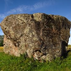
Ellandvahe Boulder
1.7 km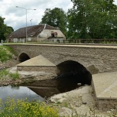
Kostivere Bridge
2.6 km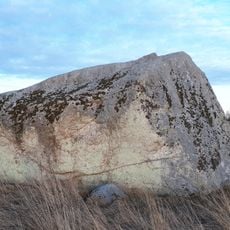
Kostivere liukivi
2.5 km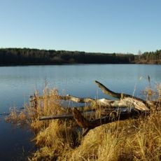
Linnamäe Reservoir
3 km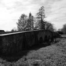
Jõelähtme stone bridge
783 m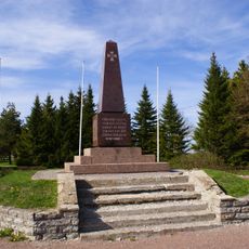
Jõelähtme Vabadussõja mälestussammas
94 m
Ülgase Cliff
5 km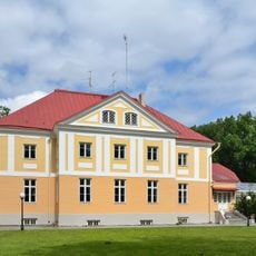
Maardu manor house
6.3 km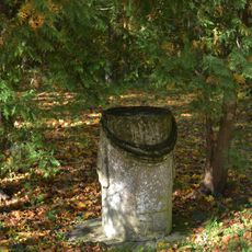
Kostivere mõisa pargiskulptuur
2.7 km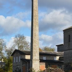
Kostivere mõisa viinavabrik
2.7 km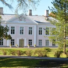
Kostivere manor house
2.7 km
Maardu mõisa ait-kuivati
6.2 km
Kostivere mõisa moonakamaja
2.6 km
Kostivere mõisa kelder
2.7 km
Maardu mõisa kaevumaja
6.3 km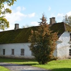
Kostivere mõisa teenijatemaja
2.6 km
Maardu mõisa allee
6.2 km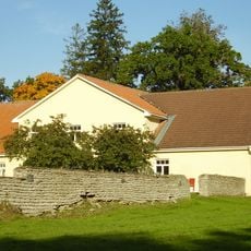
Maardu mõisa piirdemüür
6.2 km
Maardu mõisa tall-tõllakuur
6.3 km
Kostivere mõisa küün 2
2.5 km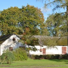
Kostivere mõisa tall-tõllakuur
2.6 km
Kostivere mõisa karjakastell
2.6 kmReviews
Visited this place? Tap the stars to rate it and share your experience / photos with the community! Try now! You can cancel it anytime.
Discover hidden gems everywhere you go!
From secret cafés to breathtaking viewpoints, skip the crowded tourist spots and find places that match your style. Our app makes it easy with voice search, smart filtering, route optimization, and insider tips from travelers worldwide. Download now for the complete mobile experience.

A unique approach to discovering new places❞
— Le Figaro
All the places worth exploring❞
— France Info
A tailor-made excursion in just a few clicks❞
— 20 Minutes