
Olivares de Júcar, municipality of Spain
Location: Cuenca Province
Capital city: Olivares de Júcar
Elevation above the sea: 900 m
Part of: Mancomunidad de Servicios «Las Lomas»
GPS coordinates: 39.76030,-2.35339
Latest update: April 16, 2025 05:53
Valeria
18.2 km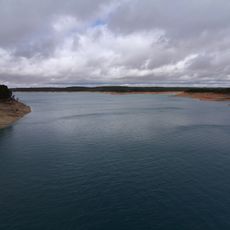
Alarcón Reservoir
19.6 km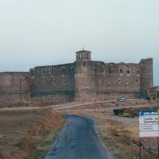
Castle of Castillo de Garcimuñoz
11.3 km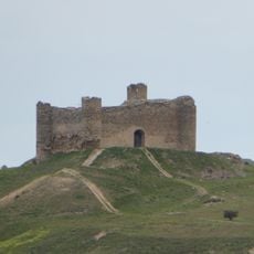
Castle of Haro
23.7 km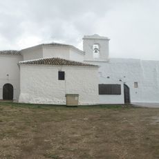
Hermitage of Alconchel de la Estrella
21 km
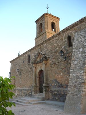
Iglesia de San Pedro Apóstol, Buenache de Alarcón
20.3 km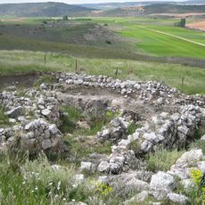
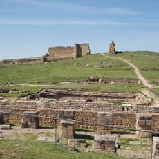
Yacimiento Arqueológico Cerro de la Virgen de la Cuesta
21 km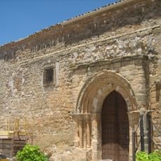
San Pedro Apóstol Church, Cervera del Llano
6.3 km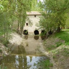
Molino del Blanco
24.5 km
Church of La Asunción de Nuestra Señora
12.7 km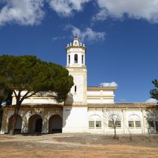
Ermita de la Virgen de la Estrella, Buenache de Alarcón
20.2 km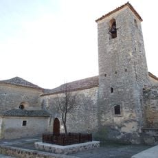
Church of Nuestra Señora de la Asunción
26.6 km
Church of San Lorenzo Mártir, Mota de Altarejos
14.1 km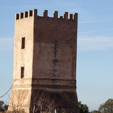
Torre de telegrafía óptica de Olmedilla de Alarcón
25.2 km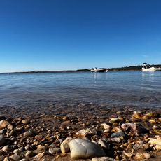
Playa Manchamar
10.8 km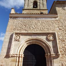
Church of Our Lady of the Assumption, Honrubia
17.6 km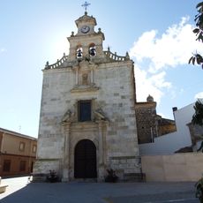
Church of Santo Rostro, Honrubia
17.5 km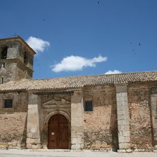
Iglesia de Nuestra Señora de la Sey
18.6 km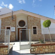
Biblioteca Pública Municipal de Honrubia
17.3 km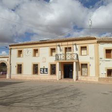
Town hall of Olmedilla de Alarcón
26.7 km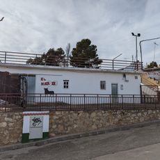
Plaza de toros de Olivares de Júcar
303 m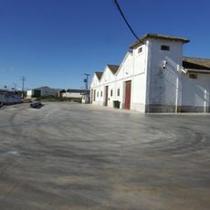
Granero de Honrubia
18 km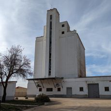
Silo de La Almarcha
8.3 km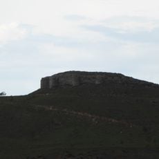
Castle of Alconchel de la Estrella
19.7 km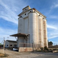
Silo de Villares del Saz
15.6 km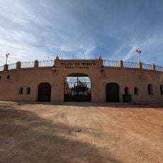
San Lorenzo de la Parrilla bullring
9.3 km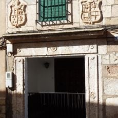
House at 26 Huertas street, Honrubia
17.7 km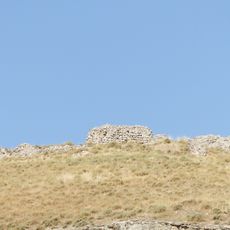
Castle of El Cañavate
24.4 kmReviews
Visited this place? Tap the stars to rate it and share your experience / photos with the community! Try now! You can cancel it anytime.
Discover hidden gems everywhere you go!
From secret cafés to breathtaking viewpoints, skip the crowded tourist spots and find places that match your style. Our app makes it easy with voice search, smart filtering, route optimization, and insider tips from travelers worldwide. Download now for the complete mobile experience.

A unique approach to discovering new places❞
— Le Figaro
All the places worth exploring❞
— France Info
A tailor-made excursion in just a few clicks❞
— 20 Minutes