
Campucaldera, parish (parroquia) in Tineo, Asturias, Spain
Location: Tinéu
Elevation above the sea: 531 m
Shares border with: La Pereda, Nieres, Merías, Soutu, El Rodical, Santa Eulalia, El Pedregal
GPS coordinates: 43.31314,-6.35838
Latest update: March 5, 2025 14:32
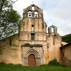
Monastery of Santa María la Real in Obona
10.3 km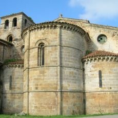
Monasterio de San Salvador
19.5 km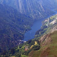
La Barca Dam
4.6 km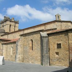
Colegiata de Santa María la Mayor
13.3 km
Palace and Tower of Valdés Salas
13.2 km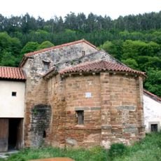
Church of the Monastery of San Miguel de Bárcena
14.2 km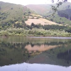
Embalse de La Florida
6.2 km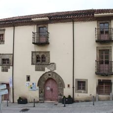
Palacio de los García, Tineo
5.2 km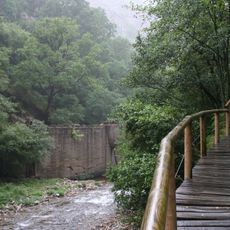
Hoces del Esva
17.8 km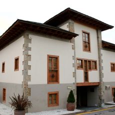
Asturias Gold Museum
18.1 km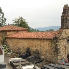
Church of San Martín de Salas
13.3 km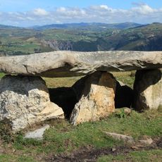
Dolmen of Merillés (Tineo)
4.9 km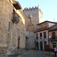
Tower of the Valdés
13.3 km
Fayona de Eiros
16.6 km
Historical site of the town of Salas
13.3 km
Palacio del Cardenal Cienfuegos
13.5 km
Palacio de los Omaña
13.6 km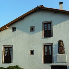
Casa del General Riego
4.4 km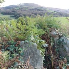
Dolmen of Baradal (Tineo)
1.2 km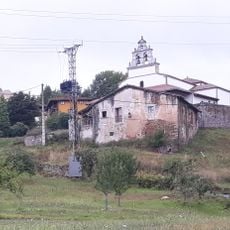
Church of Saint James of Villazon
15.8 km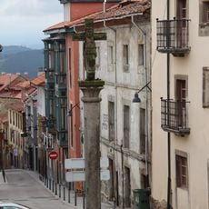
Historical site of Tineo
5.3 km
Hospital Mater Christi of Tineo
5.3 km
Field of church of San Martín de Salas
14 km
Field of church of San Juan Bautista de Montoubo
16.3 km
Roman metal workshop El Machuco
10.1 km
Iglesia de San Martín de Salas
13.3 km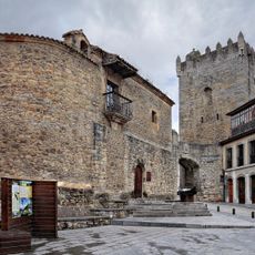
Delimitación del entorno de la Iglesia de Santa María la Mayor, Casa Palacio de Valdés Salas y Torre de la Villa
13.2 km
Church building
15.9 kmReviews
Visited this place? Tap the stars to rate it and share your experience / photos with the community! Try now! You can cancel it anytime.
Discover hidden gems everywhere you go!
From secret cafés to breathtaking viewpoints, skip the crowded tourist spots and find places that match your style. Our app makes it easy with voice search, smart filtering, route optimization, and insider tips from travelers worldwide. Download now for the complete mobile experience.

A unique approach to discovering new places❞
— Le Figaro
All the places worth exploring❞
— France Info
A tailor-made excursion in just a few clicks❞
— 20 Minutes