
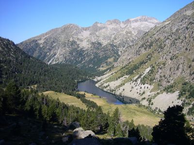
Estany Llong, jezioro polodowcowe (La Vall de Boí, Hiszpania)
Location: La Vall de Boí
Elevation above the sea: 1,999 m
Length: 722 m
Width: 126 m
GPS coordinates: 42.57338,0.95079
Latest update: April 14, 2025 11:38
Gran Tuc de Colomers
2.1 km
Pic de Subenuix
3.1 km
Pic del Portarró
2 km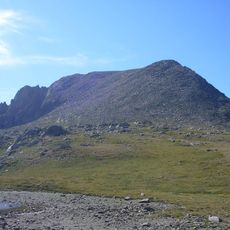
Agulla del Portarró
2.4 km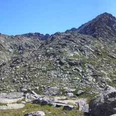
Cap de Crabes
2 km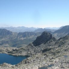
Tuc de Pòdo
3 km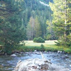
Planell de la Molina
3.1 km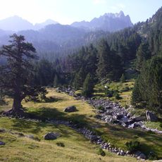
Pi de Peixerani
426 m
Tuc Blanc
2.6 km
Agulles de Dellui
1.8 km
Tuc del Bergús
2.3 km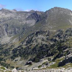
Colomers d'Espot
1.6 km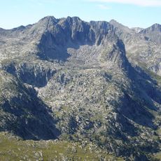
Tossal de la Montanyeta
2.4 km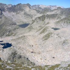
Vall de Contraix
2.4 km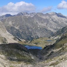
Vall de Dellui
2.7 km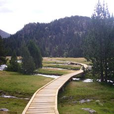
Prats d'Aiguadassi
1.5 km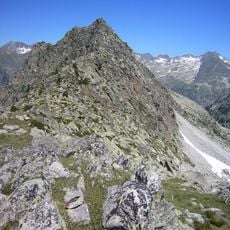
Tuc de la Montanyeta
2.3 km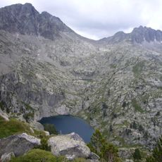
Coma dels Pescadors
2.1 km
Vall de Peixerani
2 km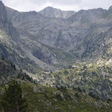
Coma d'Amitges
1.5 km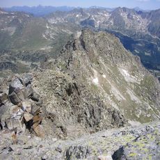
Pic Inferior de Subenuix
2.8 km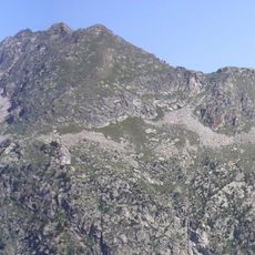
Cap de la Pala Alta d’Estany Llong
1.2 km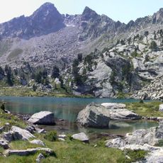
Vall de les Corticelles
1.4 km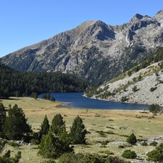
Planell d'Estany Llong
462 m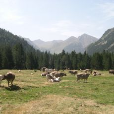
Planell Gran
2.5 km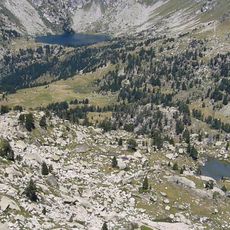
Pletiu d'Erdo
943 m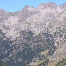
Racó de Contraix
2.8 km
Pletiu de les Crabes (Aigüestortes)
2.4 kmReviews
Visited this place? Tap the stars to rate it and share your experience / photos with the community! Try now! You can cancel it anytime.
Discover hidden gems everywhere you go!
From secret cafés to breathtaking viewpoints, skip the crowded tourist spots and find places that match your style. Our app makes it easy with voice search, smart filtering, route optimization, and insider tips from travelers worldwide. Download now for the complete mobile experience.

A unique approach to discovering new places❞
— Le Figaro
All the places worth exploring❞
— France Info
A tailor-made excursion in just a few clicks❞
— 20 Minutes