
Ajuntament de Meranges
Location: Meranges
Architectural style: vernacular architecture
GPS coordinates: 42.44596,1.78777
Latest update: April 27, 2025 03:04
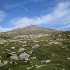
Puigpedrós
5.1 km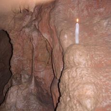
Cova d'Anes
7.3 km
La Carabassa
5.1 km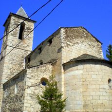
Sant Sadurní
83 m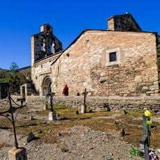
Sant Esteve de Guils
7.4 km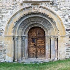
Santa Eugènia de Saga
6.8 km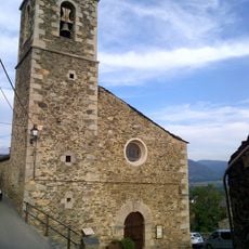
Santa Coloma de Ger
6 km
Tossals d'Isòvol i Olopte
7.1 km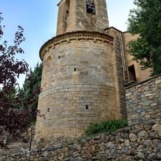
Sant Pere d'Olopte
6.4 km
Santa Maria d'All
6.8 km
Tossal de l'Amorriador
4.6 km
Sant Climent de Gréixer
4.8 km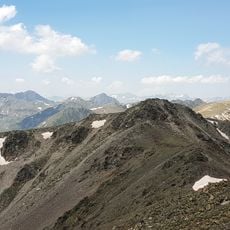
Bony del Manyer
5.5 km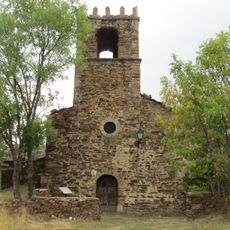
Santa Eulàlia d'Éller
3.3 km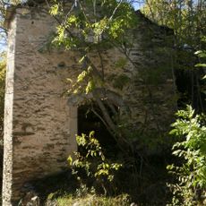
Sant Pere de Ger
5.3 km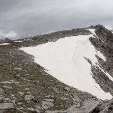
Pic de Calm Colomer
7 km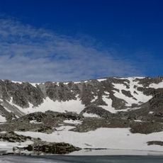
Pic de la Bressola
6.5 km
Molí de la Llosa
7.4 km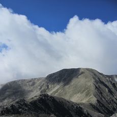
Tossa Plana de Lles-Puigpedrós
7.2 km
Tossal d'Isòvol
7.1 km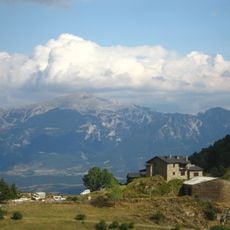
La Bastida
6.7 km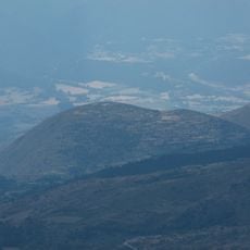
Montcurto
6.4 km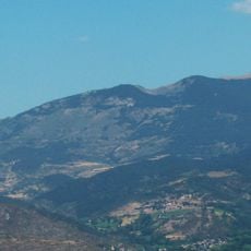
El Pelat de Talltendre
5.2 km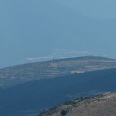
La Reduta
5.8 km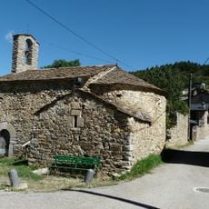
Església de Santa Maria d'Ordèn
5.1 km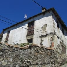
Casa del Rellotge de Sol
74 m
Capella de Sant Sadurní
507 m
Cal Monjo
60 mReviews
Visited this place? Tap the stars to rate it and share your experience / photos with the community! Try now! You can cancel it anytime.
Discover hidden gems everywhere you go!
From secret cafés to breathtaking viewpoints, skip the crowded tourist spots and find places that match your style. Our app makes it easy with voice search, smart filtering, route optimization, and insider tips from travelers worldwide. Download now for the complete mobile experience.

A unique approach to discovering new places❞
— Le Figaro
All the places worth exploring❞
— France Info
A tailor-made excursion in just a few clicks❞
— 20 Minutes