
Brandérion, commune in Morbihan, France
Location: Morbihan
Location: Lorient Agglomeration
Location: arrondissement of Lorient
Elevation above the sea: 41 m
Shares border with: Languidic, Nostang, Kervignac
Phone: +33297329237
Email: mairie@branderion.com
Website: https://branderion.com
GPS coordinates: 47.79361,-3.19472
Latest update: May 25, 2025 08:44
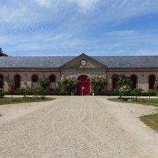
Haras national d'Hennebont
6.3 km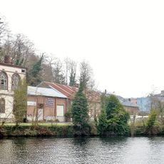
Forges d'Hennebont
5.5 km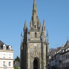
Église Notre-Dame-de-Paradis d'Hennebont
6.2 km
Fortifications of Hennebont
6.4 km
Domaine de Kerlivio
512 m
Porte de Broërech
6.4 km
Parc botanique de Kerbihan
5.6 km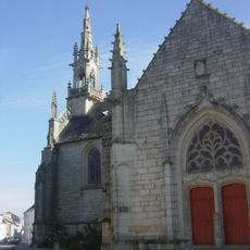
Chapelle Notre-Dame-des-Fleurs de Languidic
5.1 km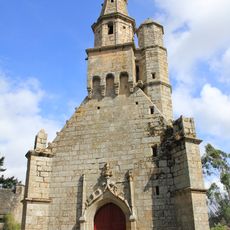
Chapelle Notre-Dame-de-Légevin
5.7 km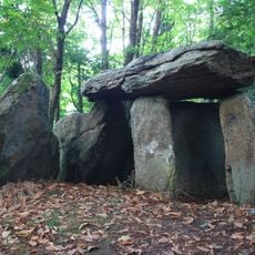
Dolmen de Tri-Men-de-Castello
2.6 km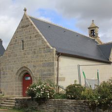
Chapelle Notre-Dame-de-Bonne-Nouvelle de Locmaria
5.1 km
Puits Ferré d'Hennebont
6.3 km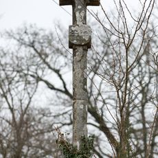
Croix armoriée de Kério
5.1 km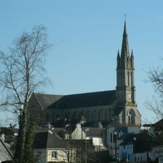
Église Saint-Pierre de Languidic
5.3 km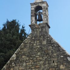
Chapelle Saint-Cado
4.9 km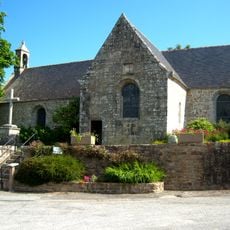
Chapelle Saint-Abibon de Tréauray
2.6 km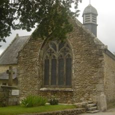
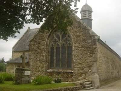
Chapelle Sainte-Anne de Brandérion
138 m
Maison, 9 rue Vieille-Ville
6.5 km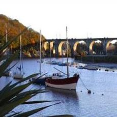
Hennebont Bridge
6.2 km
Maison, 12 rue Vieille-Ville
6.5 km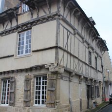
Maison, 1 rue de la Paix
6.5 km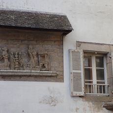
Maison, 1 rue du Docteur-Thomas (Hennebont)
6.1 km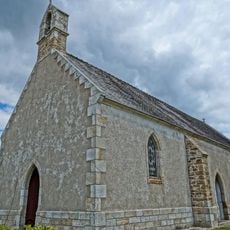
Chapelle Saint-Jacques de Kergohane
3.2 km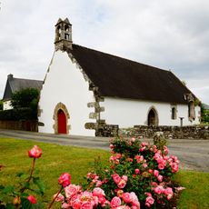
Chapelle Saint-Jean de Languidic
6.8 km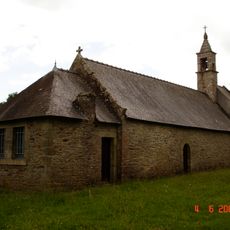
Chapelle Saint-Urlo de Languidic
5.2 km
Maison, 13 rue Vieille-Ville
6.5 km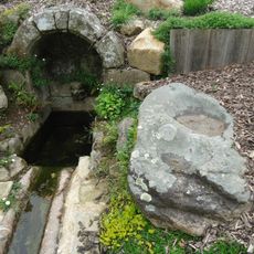
Polissoir de Kergoh
5 km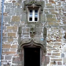
Maison, 11, place du Général-de-Gaulle
5.3 kmReviews
Visited this place? Tap the stars to rate it and share your experience / photos with the community! Try now! You can cancel it anytime.
Discover hidden gems everywhere you go!
From secret cafés to breathtaking viewpoints, skip the crowded tourist spots and find places that match your style. Our app makes it easy with voice search, smart filtering, route optimization, and insider tips from travelers worldwide. Download now for the complete mobile experience.

A unique approach to discovering new places❞
— Le Figaro
All the places worth exploring❞
— France Info
A tailor-made excursion in just a few clicks❞
— 20 Minutes