
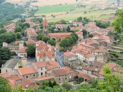
Nonette, former commune in Puy-de-Dôme, France
Location: Puy-de-Dôme
Location: arrondissement of Issoire
Elevation above the sea: 420 m
GPS coordinates: 45.47722,3.27889
Latest update: June 4, 2025 05:32
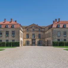
Château de Parentignat
6.3 km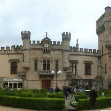
Grange Fort Castle
3.6 km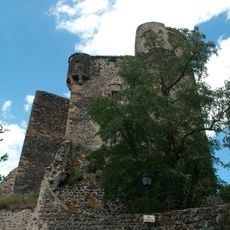
Château de Chalus
5.5 km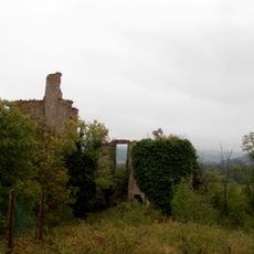
Château Cocu
3.9 km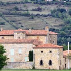
Château de Beaurecueil
1.8 km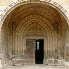
Église Saint-Nicolas de Nonette
125 m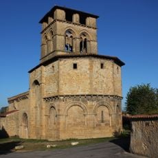
Notre-Dame de Mailhat
3 km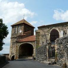
Église Saint-Maurice
7.4 km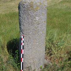
Borne milliaire de Brossel
1.7 km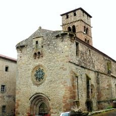
Église Saint-Julien de Bansat
5.1 km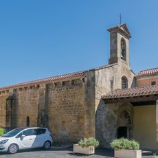
Saint Magdalene Church of Orsonnette
1.6 km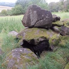
Dolmen de Loubaresse
4.5 km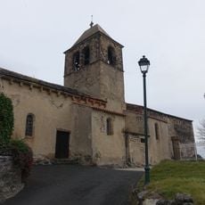
Église Sainte-Foy de Chalus
5.5 km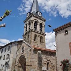
Église Saints-Cosme-et-Damien du Breuil-sur-Couze
1.6 km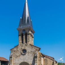
Église Notre-Dame de Chargnat
5.6 km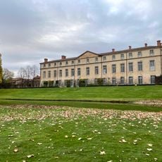
Château de Parentignat
6.3 km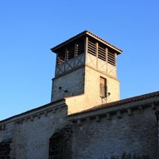
Église Saint-Martin de Saint-Martin-des-Plains
3.5 km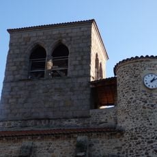
Église Saint-Géraud d'Auzat-la-Combelle
4 km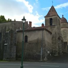
Église Saint-Pierre de Parentignat
6.3 km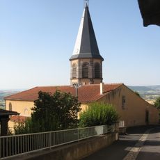
Église de l'Assomption du Broc
3.7 km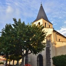
Église Saint-Pierre-ès-Liens de Gignat
4.6 km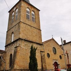
Église de l'Assomption de Lamontgie
4.2 km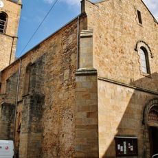
Église Saint-Germain
3.8 km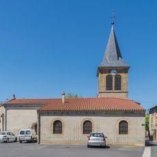
Église Notre-Dame-de-l'Assomption des Pradeaux
4.1 km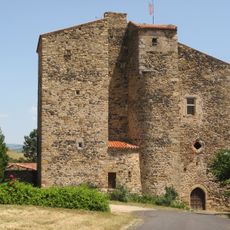
Commanderie de Chassaing
2.8 km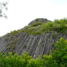
Columnar basalts of Usson
7.3 km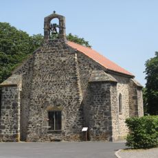
Chapelle du Broc
3.8 km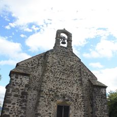
Château du Broc
3.8 kmReviews
Visited this place? Tap the stars to rate it and share your experience / photos with the community! Try now! You can cancel it anytime.
Discover hidden gems everywhere you go!
From secret cafés to breathtaking viewpoints, skip the crowded tourist spots and find places that match your style. Our app makes it easy with voice search, smart filtering, route optimization, and insider tips from travelers worldwide. Download now for the complete mobile experience.

A unique approach to discovering new places❞
— Le Figaro
All the places worth exploring❞
— France Info
A tailor-made excursion in just a few clicks❞
— 20 Minutes