Mujahia, archaeological site in the Golan Heights
Location: Golan Heights
Made from material: limestone
GPS coordinates: 32.81650,35.69630
Latest update: April 23, 2025 15:12
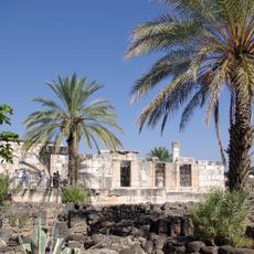
Capernaum
13.4 km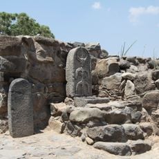
Bethsaida
12.1 km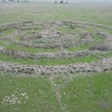
Rujm el-Hiri
14.2 km
Tal Saki
13.7 km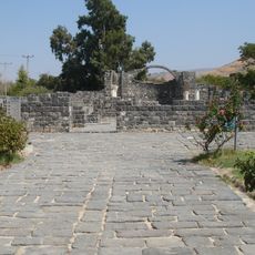
Kursi
4.4 km
Hexagon pool
13.9 km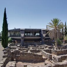
Saint Peter Church, Capernaum
13.4 km
Luna Gal
5.5 km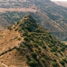
Gamla nature reserve
10.5 km
Arik Bridge
12.2 km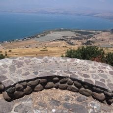
Ophir Overlook
3.2 km
Capernaum synagogue
13.4 km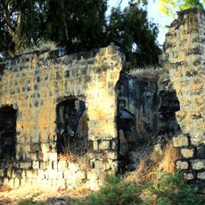
בית הבק
11.2 km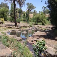
Jordan River park
12.7 km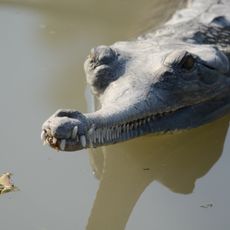
Crocodiles in Hamat Gader
14.5 km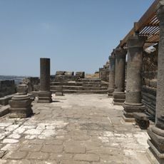
Deir Aziz Ancient synagogue
5.5 km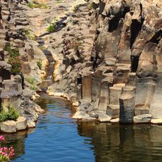
Yehudiya Forest Nature Reserve
13.7 km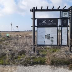
Nov Nature reserve
8.9 km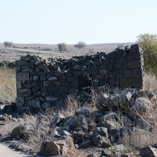
Deir Qeruh
11 km
Giv'at Bezek
12.5 km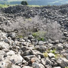
Qasr Bardawil
4.3 km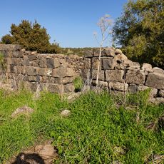
Hurvat Zmimrah
14.5 km
Memorial to the Fallen of Tel Mutila Battle
13.2 km
Gush Hispin
8.3 km
תל עין גב
6.5 km
281th Medical Regiment memorial
3.8 km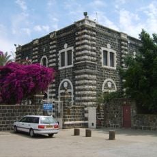
Franciscan Monastery in Capernaum Israel
13.4 km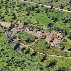
Et-Tell
12.2 kmReviews
Visited this place? Tap the stars to rate it and share your experience / photos with the community! Try now! You can cancel it anytime.
Discover hidden gems everywhere you go!
From secret cafés to breathtaking viewpoints, skip the crowded tourist spots and find places that match your style. Our app makes it easy with voice search, smart filtering, route optimization, and insider tips from travelers worldwide. Download now for the complete mobile experience.

A unique approach to discovering new places❞
— Le Figaro
All the places worth exploring❞
— France Info
A tailor-made excursion in just a few clicks❞
— 20 Minutes