Palam taluka, taluka in Parbhani district, Maharashtra, India
Location: Parbhani district
GPS coordinates: 19.01028,76.95111
Latest update: October 26, 2025 20:51
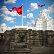
Nageshvara Jyotirlinga
59.4 km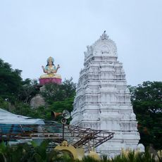
Gnana Saraswati Temple
106.9 km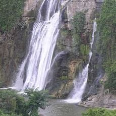
Kuntala Waterfall
118.2 km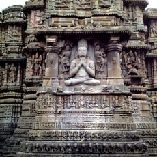
Aundha Nagnath Temple
59.4 km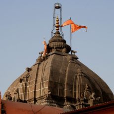
Shri Vaijnath Temple
47.6 km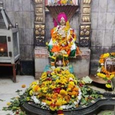
Aurad
98.6 km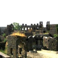
Udgir Fort
69.9 km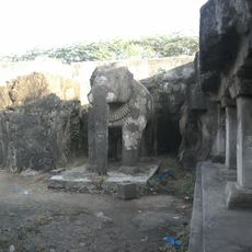
Shivleni Caves
66.7 km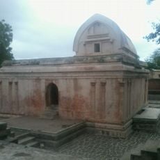
Trivikrama Temple
114.9 km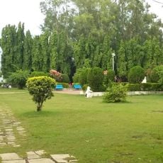
Visawa Garden
41.6 km
College of Agriculture, Latur
74.7 km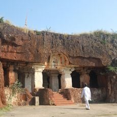
Kharosa Leni
99 km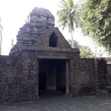
Uttaraeshwar temple
114.7 km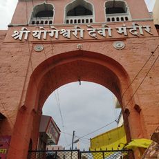
Yogeshwari Temple
66.7 km
Daitya Sudan temple
117.4 km
Barakhambi temple
66.5 km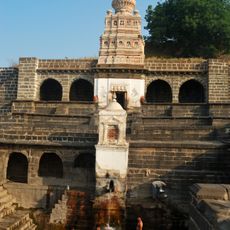
Gaimukha Temple & Tank
117.9 km
Soham doors
79.7 km
Shivaji maharaj statue
73.2 km
Marati
757 m
Limbi Stepwell
117 km
Chattrapati Shivaji Maharaj Chowk Udgir
71.6 km
Chhatrapati Shivaji Maharaj Statue
73.1 km
Punyashlok Ahilyadevi Holkar Statue
77.5 km
Chatrapati Shivaji Maharaj Chowk, Sugaon
71.8 km
Statue Of Basavanna
107.7 km
Dr Ambedkar Statue
117.4 km
Statue, Work of art
44.1 kmReviews
Visited this place? Tap the stars to rate it and share your experience / photos with the community! Try now! You can cancel it anytime.
Discover hidden gems everywhere you go!
From secret cafés to breathtaking viewpoints, skip the crowded tourist spots and find places that match your style. Our app makes it easy with voice search, smart filtering, route optimization, and insider tips from travelers worldwide. Download now for the complete mobile experience.

A unique approach to discovering new places❞
— Le Figaro
All the places worth exploring❞
— France Info
A tailor-made excursion in just a few clicks❞
— 20 Minutes