
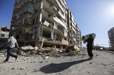
Sarpol-e Zahab, city in Kermanshah Province, Iran
Location: Central District
Elevation above the sea: 548 m
GPS coordinates: 34.46139,45.86472
Latest update: March 30, 2025 18:26
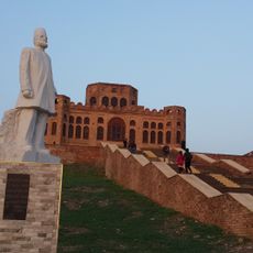
Sherwana Castle
53.1 km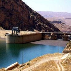
Darbandikhan Dam
73.9 km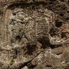
Anobanini rock relief
393 m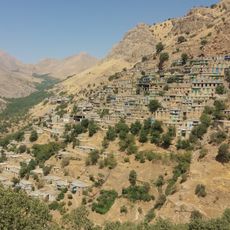
Cultural Landscape of Hawraman/Uramanat
91.2 km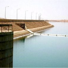
Hemrin Dam
91.1 km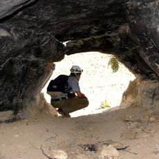
Wezmeh
84.9 km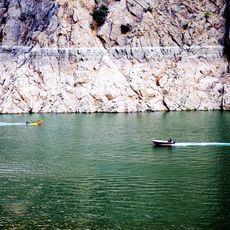
Daryan Dam
86.9 km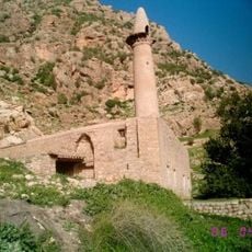
Abdullah ibn Umar Mosque
13.7 km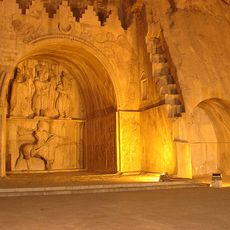
Chia Jani
102.1 km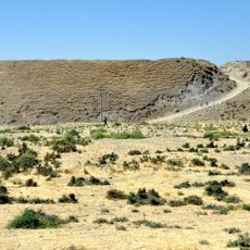
Bakr Awa
84.8 km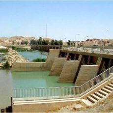
Diyala Weir
92.5 km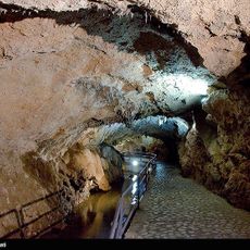
Quri Qala Cave
76.2 km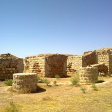
Khosrow Palace (Qasr-e Shirin)
26.9 km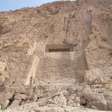
Dukkan-e Daud
3.8 km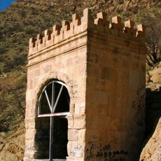
Taq-e Gara
14.4 km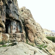
Ravansar Tomb
78.7 km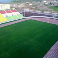
Halabja Stadium
83.1 km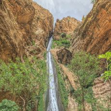
Piran waterfall
9 km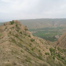
Qaleh-i Yazdigird
12.4 km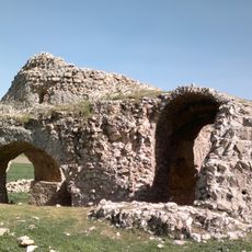
Siah Gol Fire Temple
64.5 km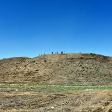
Yasin Tepe
102 km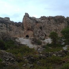
The Stone cave Hossein Kuhkan
72.6 km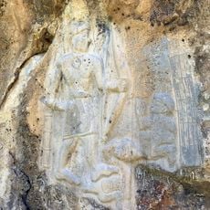
Darband-i Belula
55.4 km
Abu Dajaneh Cemetery
10 km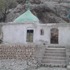
Imamzadeh Pir Husayn
96.2 km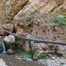
Tang-e Luleh Ab Dam
96.3 km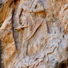
Rock relief of Naram-Suen, Sulaymaniyah
93.9 km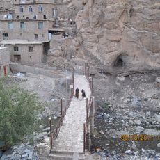
Palangan Bridge
95.5 kmReviews
Visited this place? Tap the stars to rate it and share your experience / photos with the community! Try now! You can cancel it anytime.
Discover hidden gems everywhere you go!
From secret cafés to breathtaking viewpoints, skip the crowded tourist spots and find places that match your style. Our app makes it easy with voice search, smart filtering, route optimization, and insider tips from travelers worldwide. Download now for the complete mobile experience.

A unique approach to discovering new places❞
— Le Figaro
All the places worth exploring❞
— France Info
A tailor-made excursion in just a few clicks❞
— 20 Minutes