
Sant'Agata sul Santerno, Italian comune
Location: Province of Ravenna
Capital city: Sant'Agata sul Santerno
Elevation above the sea: 14 m
Website: http://www.comune.santagatasulsanterno.ra.it/
Shares border with: Lugo, Massa Lombarda
Website: http://comune.santagatasulsanterno.ra.it
GPS coordinates: 44.43333,11.86667
Latest update: March 6, 2025 06:30

Teatro Rossini
3.7 km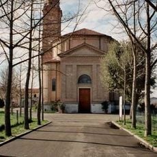
Santo Stefano di Barbiano church
5.3 km
Casa Museo "Francesco Baracca"
3.8 km
Carlo Venturini Cultural Center
2.3 km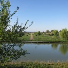
Parco Golfera
3.3 km
Museo della Frutticoltura "Adolfo Bonvicini"
2.8 km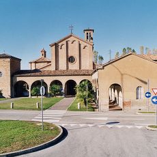
Saint Francis complex
5.7 km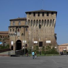
Rocca di Lugo
3.9 km
Monumento a Francesco Baracca
3.9 km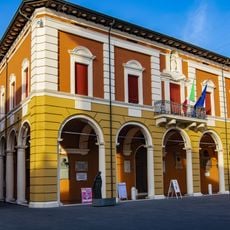
City hall
3.4 km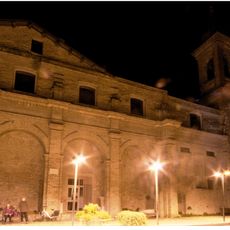
Palazzo dell'Orfanotrofio
3.5 km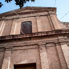
Santa Maria del Carmine
3.3 km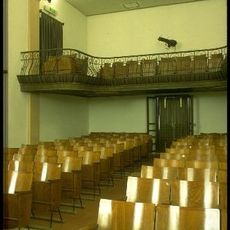
Teatro Comunale
5.7 km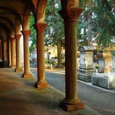
Cimitero monumentale
2.9 km
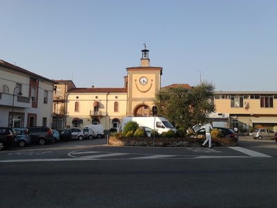
Torre dell'orologio
3.3 km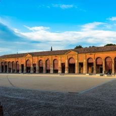
Pavaglione
3.9 km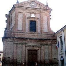
Chiesa e Monastero della Beata Vergine del Carmine
3.8 km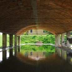
Lavoir
3.9 km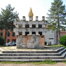
Monumento ai Monumento ai Caduti partigiani
3.6 km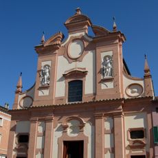
Chiesa del Suffragio
3.9 km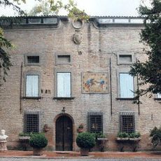
Villa Morsiani
4.7 km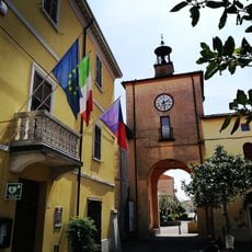
Torre dell'orologio
1.1 km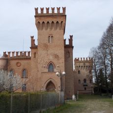
Santa Maria in Fabriago Castle
6.4 km
Biblioteca Carlo Venturini
3.1 km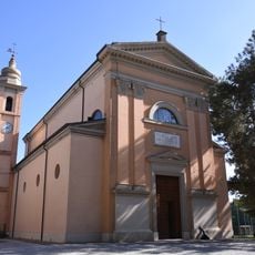
Chiesa di San Patrizio
6.9 km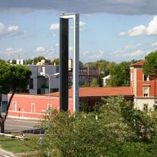
Meridiana dei Popoli
3.8 km
Gelso nero
6.8 km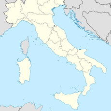
Parco Il Tondo
4.1 kmReviews
Visited this place? Tap the stars to rate it and share your experience / photos with the community! Try now! You can cancel it anytime.
Discover hidden gems everywhere you go!
From secret cafés to breathtaking viewpoints, skip the crowded tourist spots and find places that match your style. Our app makes it easy with voice search, smart filtering, route optimization, and insider tips from travelers worldwide. Download now for the complete mobile experience.

A unique approach to discovering new places❞
— Le Figaro
All the places worth exploring❞
— France Info
A tailor-made excursion in just a few clicks❞
— 20 Minutes