
Arba, Friuli-Venezia Giulia, Italian comune
Location: ente di decentramento regionale di Pordenone
Capital city: Arba
Elevation above the sea: 210 m
Shares border with: Cavasso Nuovo, Maniago, Spilimbergo, Fanna, Sequals, Vivaro
Website: http://comunearba.it
GPS coordinates: 46.15000,12.78333
Latest update: March 10, 2025 21:03
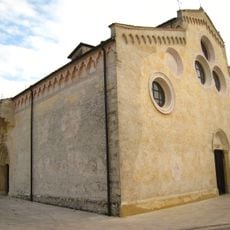
Santa Maria Maggiore
10.4 km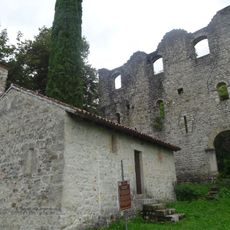
Castello di Maniago
6.8 km
Duomo di Maniago
6.2 km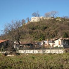
Castello
13.1 km
Chiesa di Santa Maria dei Battuti
10.6 km
San Nicolò
7.9 km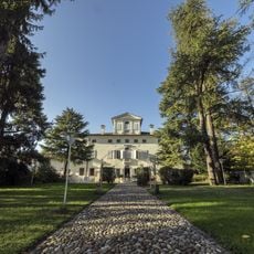
Villa Cigolotti
6.9 km
Nostra Signora di Lourdes Oratory
11 km
San Nicolò Vescovo
9.4 km
Chiesa di Santo Stefano
10.5 km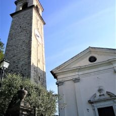
Sant'Andrea Apostolo
3.7 km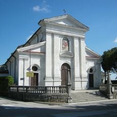
Chiesa di San Martino
13 km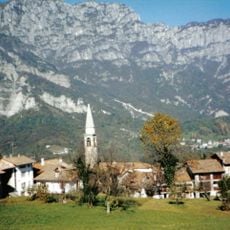
Chiesa delle Sante Fosca e Maura
8.2 km
Santa Maria Maggiore Church
7.5 km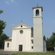
Chiesa di Santa Maria Assunta
8.6 km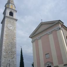
Santa Maria Assunta
8 km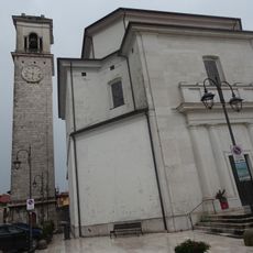
Santa Maria Assunta Church
9.5 km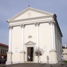
San Michele Arcangelo
792 m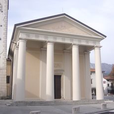
San Martino Vescovo
4.7 km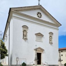
Maniagolibero
7.8 km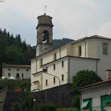
San Remigio
5.3 km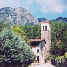
Chiesa di Sant'Osvaldo Re
9.2 km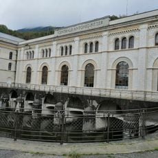
A. Pitter hydroelectric plant Malnisio
11.5 km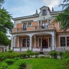
Villa Primo Carnera
4 km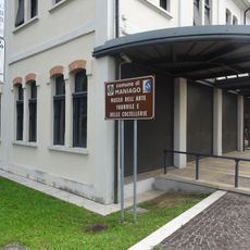
Museo dell'arte fabbrile e delle coltellerie
6 km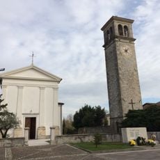
San Leonardo Church
12.3 km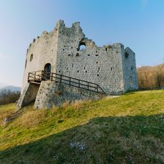
Castle of Toppo
7.1 km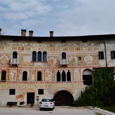
Castle of Spilimbergo
10.4 kmReviews
Visited this place? Tap the stars to rate it and share your experience / photos with the community! Try now! You can cancel it anytime.
Discover hidden gems everywhere you go!
From secret cafés to breathtaking viewpoints, skip the crowded tourist spots and find places that match your style. Our app makes it easy with voice search, smart filtering, route optimization, and insider tips from travelers worldwide. Download now for the complete mobile experience.

A unique approach to discovering new places❞
— Le Figaro
All the places worth exploring❞
— France Info
A tailor-made excursion in just a few clicks❞
— 20 Minutes