
Fara Gera d'Adda, Italian comune
Location: Province of Bergamo
Capital city: Fara Gera d'Adda
Elevation above the sea: 131 m
Shares border with: Treviglio, Pontirolo Nuovo, Canonica d'Adda, Cassano d'Adda, Vaprio d'Adda
Website: https://comune.farageradadda.bg.it/
GPS coordinates: 45.55000,9.53333
Latest update: March 3, 2025 17:13
Madonna delle Lacrime Sanctuary
5.5 km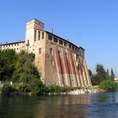
Visconti Castle
2.8 km
Villa d'Adda-Borromeo
2.8 km
San Martino
5.6 km
Same Deutz-Fahr Museum
4.6 km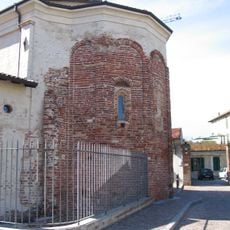
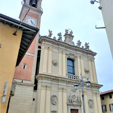
Basilica Autarena di Fara Gera d'Adda
422 m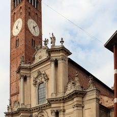
Campanile di Treviglio
5.7 km
Museo civico di Treviglio
5.7 km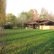
Roccolo
4.4 km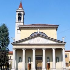
San Nicolò
3 km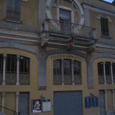
Teatro Filodrammatici
5.4 km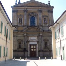
Santa Maria Immacolata e San Zeno
3 km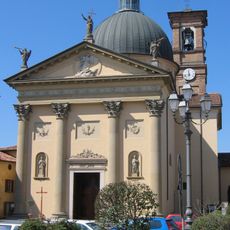
San Michele Arcangelo
3.4 km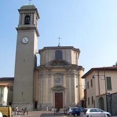
San Giovanni Evangelista
3.1 km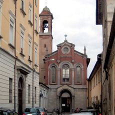
Chiesa di San Carlo ai morti
5.4 km
Historical Archive and Museum SDF
4.6 km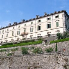
Villa Melzi
3 km
La Lanca sull'Adda
1.6 km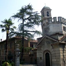
Villa Pagnoni
3.1 km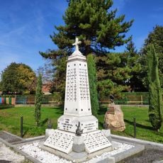
War memorial in Canonica d'Adda
2.8 km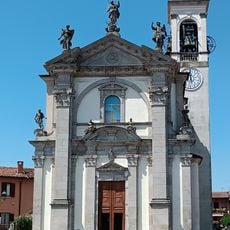
Chiesa di Sant'Alessandro
403 m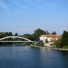
Vaprio d’Adda Bridge
3 km
Chiesa di S. Alessandro
403 m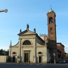
San Rocco
5.7 km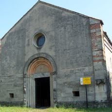
San Colombano Church
2.7 km
San Giovanni Evangelista
3.1 km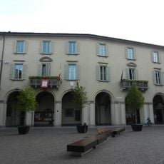
Town hall of Treviglio
5.6 km
War memorial in Grezzago
2.4 kmReviews
Visited this place? Tap the stars to rate it and share your experience / photos with the community! Try now! You can cancel it anytime.
Discover hidden gems everywhere you go!
From secret cafés to breathtaking viewpoints, skip the crowded tourist spots and find places that match your style. Our app makes it easy with voice search, smart filtering, route optimization, and insider tips from travelers worldwide. Download now for the complete mobile experience.

A unique approach to discovering new places❞
— Le Figaro
All the places worth exploring❞
— France Info
A tailor-made excursion in just a few clicks❞
— 20 Minutes