
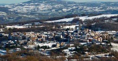
Sant'Elena Sannita, Italian comune
Location: province of Isernia
Capital city: Sant'Elena Sannita
Elevation above the sea: 780 m
Shares border with: Casalciprano, Frosolone, Macchiagodena, Spinete, Bojano
Website: http://comune.santelenasannita.is.it
GPS coordinates: 41.58333,14.46667
Latest update: May 13, 2025 11:07
Bojano Cathedral
11.3 km
Sant'Egidio
13.2 km
Chiesa di San Lorenzo Martire
8.2 km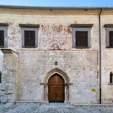
Chiesa di Sant'Erasmo
11.2 km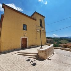
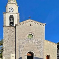
St Peter the Apostle church
4.9 km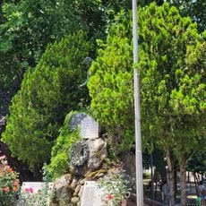
Frosolone War Memorial
2.5 km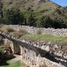
Castello normanno
11.8 km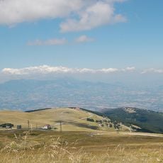
The Transhumance: The Royal Shepherd's Track
11.6 km
Village Onda Magica
11.5 km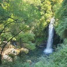
Carpinone waterfall
11.8 km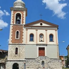
Santa Maria del Carmine church in Spinete
4.6 km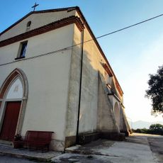
San Giovanni church
3.9 km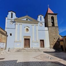
Santa Maria Assunta in Cielo church
4.7 km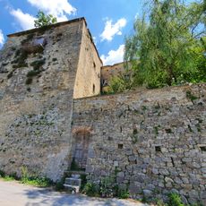
Marquis palace Spinete
4.7 km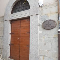
Civic museum of cutting tools
2.5 km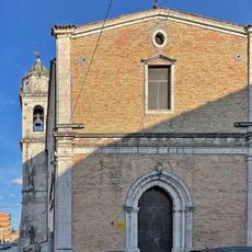
Chiesa di Santa Maria del Parco
11.3 km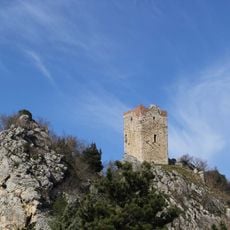
Torre
9.1 km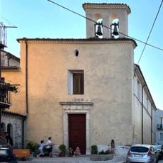
Chiesa di San Biagio
11.4 km
Chiesa di San Rocco Confraternita del Purgatorio
11.1 km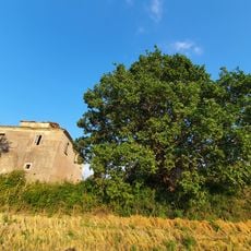
Rovella Oak
5.7 km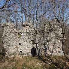
Castello di Monte Vairano
10.1 km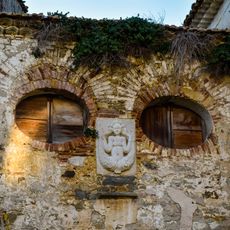
Twin-tailed Mermaid bass-relief in Spinete
4.7 km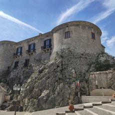
Castello di Macchiagodena
5.9 km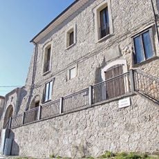
Castello
10.6 km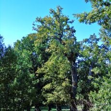
Roverella
10.6 km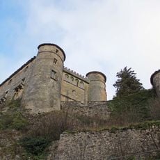
Castello Caldora
12 km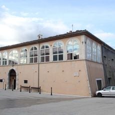
Palazzo Giordano
9.8 km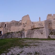
Castello d'Evoli
9.1 kmVisited this place? Tap the stars to rate it and share your experience / photos with the community! Try now! You can cancel it anytime.
Discover hidden gems everywhere you go!
From secret cafés to breathtaking viewpoints, skip the crowded tourist spots and find places that match your style. Our app makes it easy with voice search, smart filtering, route optimization, and insider tips from travelers worldwide. Download now for the complete mobile experience.

A unique approach to discovering new places❞
— Le Figaro
All the places worth exploring❞
— France Info
A tailor-made excursion in just a few clicks❞
— 20 Minutes