
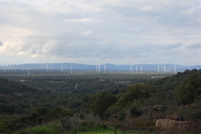
Piana di Semestene, Bonorva, Macomer e Bortigali
Piana di Semestene, Bonorva, Macomer e Bortigali, Area protetta della rete Natura 2000 della provincia di Nuoro
Location: Province of Nuoro
Part of: Natura 2000
GPS coordinates: 40.34587,8.75854
Latest update: March 16, 2025 18:21
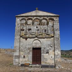
San Nicola di Trullas Church
7 km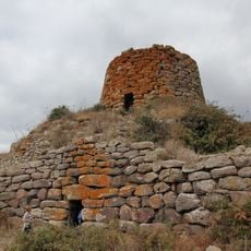
Nuraghe Orolo
8 km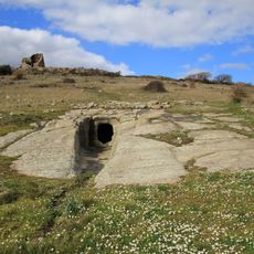
Necropolis of Filigosa
7.6 km
Unione dei comuni del Marghine
9.1 km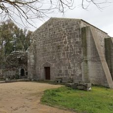
Nostra Signora di Corte
8.8 km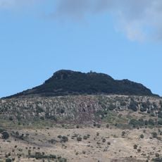
Monte San Padre
8.7 km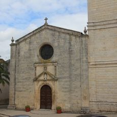
Natività di Maria
7.9 km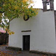
Santa Maria 'e Sauccu
8.4 km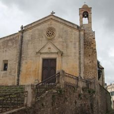
San Giovanni Battista
7.9 km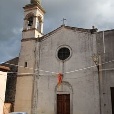
Santa Vittoria
8.1 km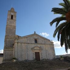
San Giorgio
6.4 km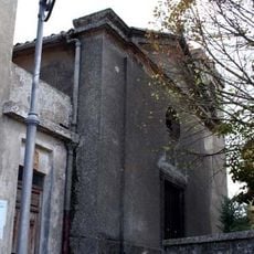
Chiesa di Sant'Elena
6.6 km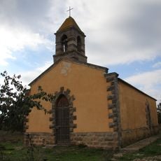
Chiesa del Sacro Cuore di Gesù (Bortigali)
3.3 km
San Pantaleo
9.3 km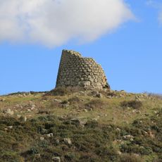
Nuraghe Ruggiu
7.5 km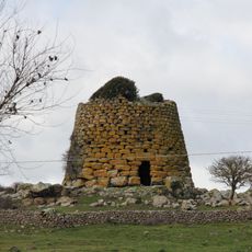
Nuraghe Succoronis
6.9 km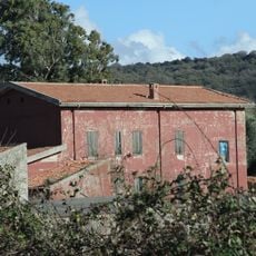
Casa cantoniera di Cadreas
6.9 km
Casa cantoniera di Bara
6.9 km
Nuraghe Pranu 'e Ruos
8.7 km
Santa Croce
9.2 km
Nuraghe Toccori
6.3 km
Museo etnografico "Le arti antiche"
8.8 km
Nuraghe Ruggiu
9.1 km
Ponte Oinu
5.5 km
Ex convento di San Salvatore da Horta
8.4 km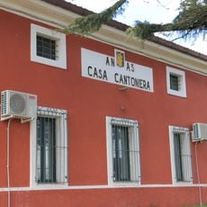
Casa cantoniera di Campeda
2.7 km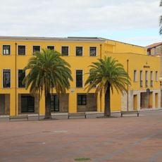
Town hall of Bonorva
8 km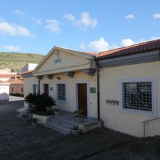
Town hall of Semestene
6.5 kmReviews
Visited this place? Tap the stars to rate it and share your experience / photos with the community! Try now! You can cancel it anytime.
Discover hidden gems everywhere you go!
From secret cafés to breathtaking viewpoints, skip the crowded tourist spots and find places that match your style. Our app makes it easy with voice search, smart filtering, route optimization, and insider tips from travelers worldwide. Download now for the complete mobile experience.

A unique approach to discovering new places❞
— Le Figaro
All the places worth exploring❞
— France Info
A tailor-made excursion in just a few clicks❞
— 20 Minutes