
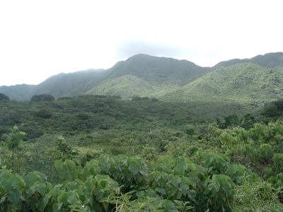
Mount Komi, mountain in Japan
Location: Taketomi
Elevation above the sea: 469.5 m
GPS coordinates: 24.35928,123.89117
Latest update: March 14, 2025 05:35

Iriomote Island
8.5 km
Taketomi Island
20.3 km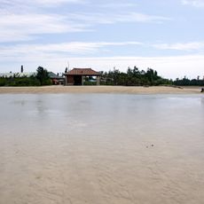
Yubu Island
4.7 km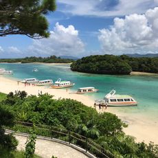
Kabira Bay
27.6 km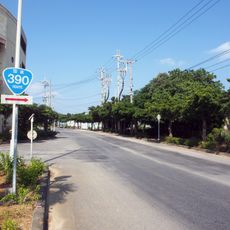
Japan National Route 390
27.1 km
竹富町役場
26.6 km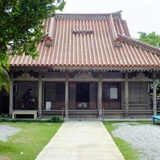
Tōrin-ji
26.9 km
Mariyudu Falls
8.9 km
Miyaradunchi
27.3 km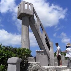
Nagomi Tower
20 km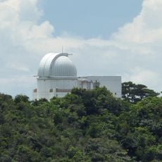
Ishigakijima Astronomical Observatory
25.2 km
Memorial Hall of Yoko Gushiken
25.9 km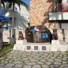
730 Shiishii Park
27.1 km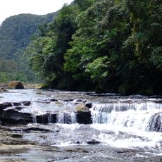
Kanpirē Falls
8.6 km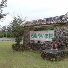
Ishigaki Yaima village
26.2 km
West Pier
19.3 km
サザンゲートブリッジ
27.4 km
Ishigaki City Public Market
27.1 km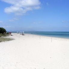
Kondoi Beach
19.3 km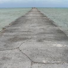
Iko Pier
17.7 km
Kihō-in
19.6 km
Nobumoto Ōhama Memorial Hall
27.4 km
Ishigaki City Yaeyama Museum
27.4 km
Iriomote Wildlife Conservation Center
3.6 km
Ishigaki Ogansaki Lighthouse
21.7 km
石垣市立川平小中学校
27.5 km
Subtropical Botanical Garden
4.7 km
Tudumari-no-hama
13.9 kmVisited this place? Tap the stars to rate it and share your experience / photos with the community! Try now! You can cancel it anytime.
Discover hidden gems everywhere you go!
From secret cafés to breathtaking viewpoints, skip the crowded tourist spots and find places that match your style. Our app makes it easy with voice search, smart filtering, route optimization, and insider tips from travelers worldwide. Download now for the complete mobile experience.

A unique approach to discovering new places❞
— Le Figaro
All the places worth exploring❞
— France Info
A tailor-made excursion in just a few clicks❞
— 20 Minutes