
Tashiro Dam, dam in Shizuoka Prefecture, Japan
Location: Aoi-ku
Inception: 1928
Height: 17.3 m
Website: https://tepco.co.jp/rp/business/hydroelectric_power/mechanism/dam/list/tashiro.html
GPS coordinates: 35.49861,138.24639
Latest update: March 15, 2025 15:53

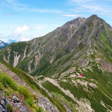
Mount Kita
19.6 km
Kuon-ji
20.8 km
Ainodake
16.5 km
Three Mountains of Shirane
19.6 km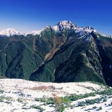
Mt. Shiomi
10.1 km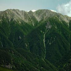
Mt. Notori
13.7 km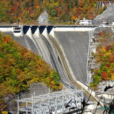
Hatanagi-I Dam
20.5 km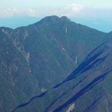
Mount Zaru
8.4 km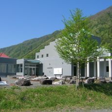
Median Tectonic Line Museum
19.9 km
Fujikawa craft park
19.6 km
Mt. Warusawa
5.8 km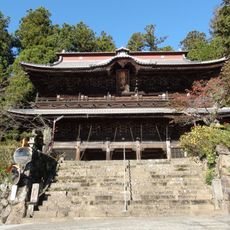
Myōhō-ji
17.6 km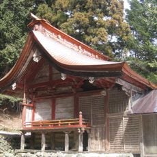
Homi-jinja
19.9 km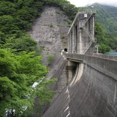
Nishiyama Dam
9.3 km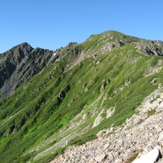
Mount Nakashirane
17.9 km
Mount Ogōchi
9.5 km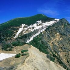
Mount Eboshi
10.4 km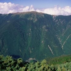
Mount Kurogōchi
8.1 km
上沢寺
20 km
Mount Hirogōchi
12 km
Hongokuji Temple
20 km
Nanshoin
19.7 km
Saisho-ji
19.8 km
福徳寺
18.4 km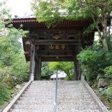
龍雲寺
19.8 km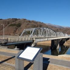
富士橋
19.8 km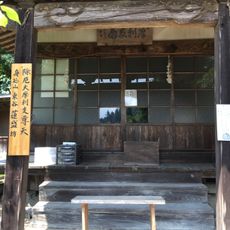
蓮盛坊
21.2 km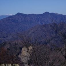
Mount Shichimen
17.1 kmVisited this place? Tap the stars to rate it and share your experience / photos with the community! Try now! You can cancel it anytime.
Discover hidden gems everywhere you go!
From secret cafés to breathtaking viewpoints, skip the crowded tourist spots and find places that match your style. Our app makes it easy with voice search, smart filtering, route optimization, and insider tips from travelers worldwide. Download now for the complete mobile experience.

A unique approach to discovering new places❞
— Le Figaro
All the places worth exploring❞
— France Info
A tailor-made excursion in just a few clicks❞
— 20 Minutes