Tsue Sankei Prefectural Natural Park, natural park in Oita prefecture, Japan
Location: Hita
Inception: March 30, 1951
GPS coordinates: 33.12970,130.88000
Latest update: March 17, 2025 20:48

Autopolis
13.5 km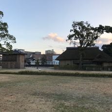
Kangien
22.1 km
Nakatsuemura
5.4 km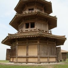
Kikuchi Castle
16.6 km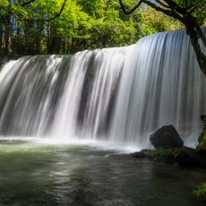
Nabe Falls
14.5 km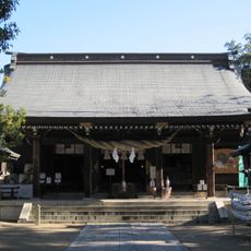
Kikuchi Shrine
16.9 km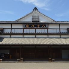
Yachiyo-za
21.8 km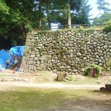
Nagayama Castle
23.2 km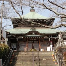
相良寺
12.1 km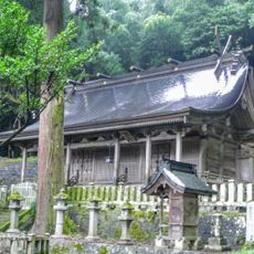
Oguni Ryo-jinja
18 km
大宮神社
21.7 km
Roadside station Taio-kinzan
256 m
Manganji
21 km
Shibasaburo Kitazato Memorial Museum
19.7 km
Kusano Honke
22.5 km
Gakurin-ji
22.6 km
Sakamoto Zenzō Museum of Art
14.6 km
Hirose Museum
22.6 km
聖護寺
7.1 km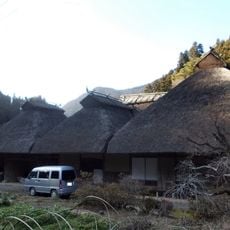
平川家住宅
16.4 km
Tenryō Hita Museum
21.2 km
Nippon Gwan
22.7 km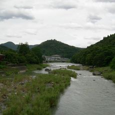
Yabegawa Prefectural Natural Park
11.4 km
Hita Gion Yamahoko Kaikan
21.2 km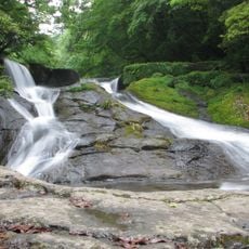
Yonjūsanman-Wasserfall
15 km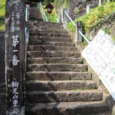
東福寺
17.2 km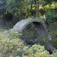
筏場眼鏡橋
20.3 km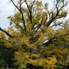
Shimojō no Ōichō
16.5 kmVisited this place? Tap the stars to rate it and share your experience / photos with the community! Try now! You can cancel it anytime.
Discover hidden gems everywhere you go!
From secret cafés to breathtaking viewpoints, skip the crowded tourist spots and find places that match your style. Our app makes it easy with voice search, smart filtering, route optimization, and insider tips from travelers worldwide. Download now for the complete mobile experience.

A unique approach to discovering new places❞
— Le Figaro
All the places worth exploring❞
— France Info
A tailor-made excursion in just a few clicks❞
— 20 Minutes