Mount Oya, mountain in Hyogo Prefecture
Location: Inagawa
Location: Tamba-Sasayama
Elevation above the sea: 753.5 m
GPS coordinates: 35.01026,135.31279
Latest update: April 30, 2025 03:59
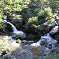
Rurikei
8.8 km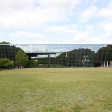
Museum of Nature and Human Activities, Hyōgo
13.8 km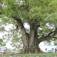
Noma-no-Okeyaki
14.4 km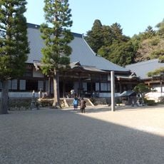
Yōtaku-ji
6.1 km
Make-jinja
13.6 km
有馬富士
12.2 km
Kushi iwamado-jinja
11.4 km
Hohokabe-jinja
6.8 km
Kumobe Kurumazuka Kofun
8.6 km
Taishō Roman-kan
11.4 km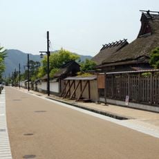
Tambasasayama City Preservation District for Groups of Historic Sasayama Buildings
10.6 km
Hazu hachiman-jinja
11.8 km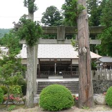
Takamefu-jinja
7.1 km
Ryuzoji (Tambasasayama)
9.7 km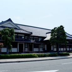
Tambasasayama Historical Art Museum
11.3 km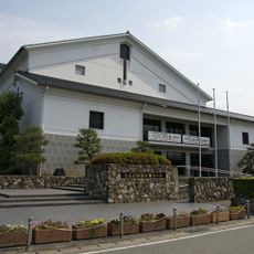
Den-en Symphony Hall
11.3 km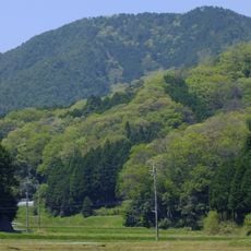
Mt. Sakatsugigatake
13.9 km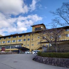
能勢温泉
7.3 km
Tōkutsu-ji
14.3 km
Dōnaka Kofun Group
5.4 km
篠山チルドレンズミュージアム
10.7 km
Sasayama Castle
11.1 km
Yakami Castle
7.7 km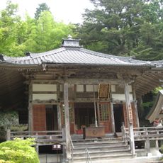
Bodaiji
10.2 km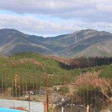
Mount Kenpi
8.3 km
多田銀銅山 悠久の館
13.2 km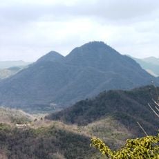
Mount Hatsuka
11 km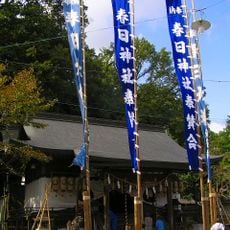
Kasuga Shrine
11.4 kmReviews
Visited this place? Tap the stars to rate it and share your experience / photos with the community! Try now! You can cancel it anytime.
Discover hidden gems everywhere you go!
From secret cafés to breathtaking viewpoints, skip the crowded tourist spots and find places that match your style. Our app makes it easy with voice search, smart filtering, route optimization, and insider tips from travelers worldwide. Download now for the complete mobile experience.

A unique approach to discovering new places❞
— Le Figaro
All the places worth exploring❞
— France Info
A tailor-made excursion in just a few clicks❞
— 20 Minutes