Amano, dissolved municipality in Ito district, Wakayama prefecture, Japan
Location: Ito district
Inception: April 1, 1888
GPS coordinates: 34.22286,135.49947
Latest update: March 14, 2025 08:02
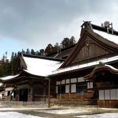
Kongōbu-ji
7.9 km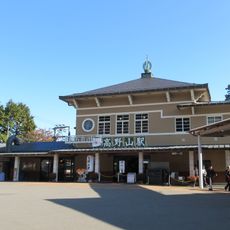
Kōyasan Station
7.2 km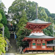
Jison-in
9.3 km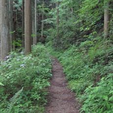
Kōyasan chōishi-michi
4.3 km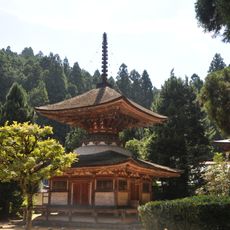
Kongō Sanmai-in
8.2 km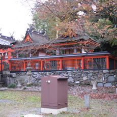
Niukanshōfu Shrine
4.2 km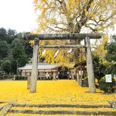
Niusakadono Shrine
7.6 km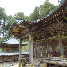
Tokugawa Mausoleum
7.7 km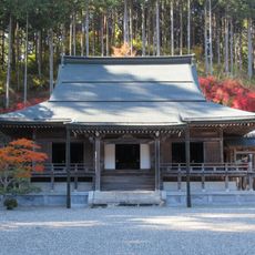
Hōju-in
7.3 km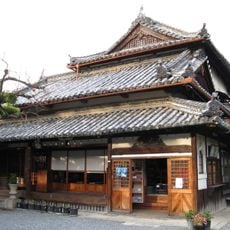
Zenmyōshō-in
9.4 km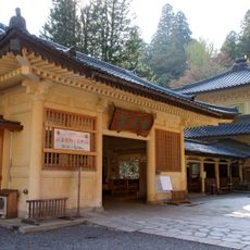
Koyasan Reihōkan
7.7 km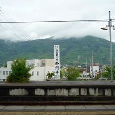
Mount Ryūmon
8.3 km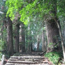
Okoromo-dera
7.4 km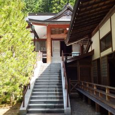
Myōō-in
7.5 km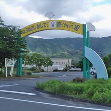
Seishu-no-sato
8.4 km
Shizensha-hongū
2.7 km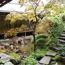
Shōjōshin-in
8.8 km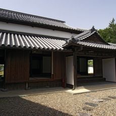
Former Nate-juku Honjin
8.3 km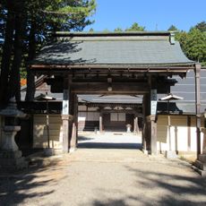
Ryūkō-in
7.6 km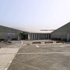
Flower Hill Museum
8.3 km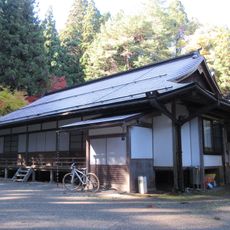
Gobōjakujō-ji
7.6 km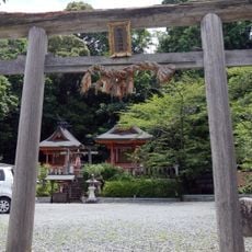
Makiosan Myōjinsha
9.6 km
多聞院 (高野町)
7.7 km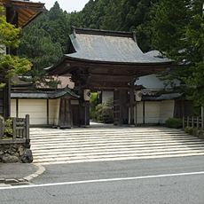
Muryōkōin
8.1 km
Nichirin-ji
9.4 km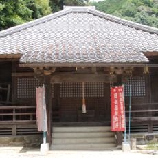
Jizō-ji
8.2 km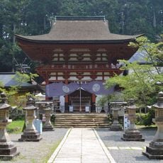
Niutsuhime Shrine
4.9 km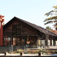
Koyasan Digital Museum
7.8 kmReviews
Visited this place? Tap the stars to rate it and share your experience / photos with the community! Try now! You can cancel it anytime.
Discover hidden gems everywhere you go!
From secret cafés to breathtaking viewpoints, skip the crowded tourist spots and find places that match your style. Our app makes it easy with voice search, smart filtering, route optimization, and insider tips from travelers worldwide. Download now for the complete mobile experience.

A unique approach to discovering new places❞
— Le Figaro
All the places worth exploring❞
— France Info
A tailor-made excursion in just a few clicks❞
— 20 Minutes