
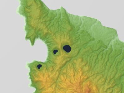
Megata, volcano in Tohoku, Japan
Location: Oga
Elevation above the sea: 291 m
GPS coordinates: 39.95000,139.73333
Latest update: March 7, 2025 22:57
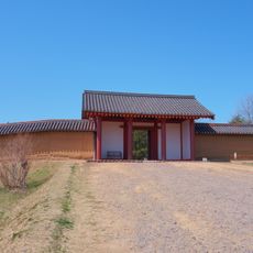
Akita Castle
37.7 km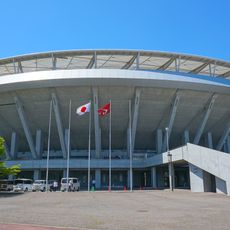
Akita Prefectural Baseball Stadium
38 km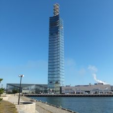
Akita Port Tower
35.6 km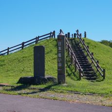
Ogata Fuji
23.8 km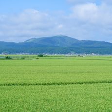
Mount Kampu
12.3 km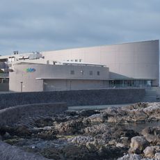
Oga Aquarium Gao
2.6 km
Minato Castle
36 km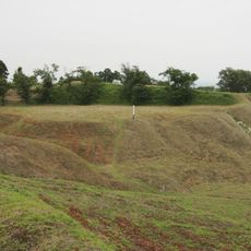
Wakimoto Castle
14.3 km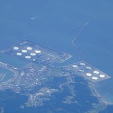
Akita National Petroleum Stockpiling Base
13.6 km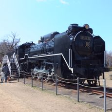
Ōmoriyama Park
39.2 km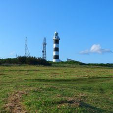
Nyudozaki Lighthouse
6.7 km
Namahage Museum
3.7 km
Akita Prefectural Museum
32 km
Gojome Station
32.7 km
Akita Prefectural General Pool
38.2 km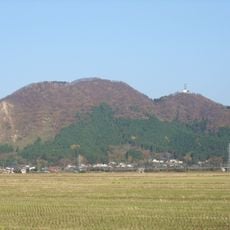
Mount Mori
32.1 km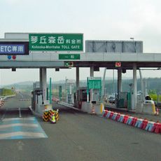
Kotooka-Moritake toll booth
31.8 km
Ura Castle
30.7 km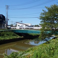
Omokage Bridge
39.7 km
Akita Prefectural Koizumigata Park
32.2 km
秋田県漁業協同組合
35.9 km
Iwanoyama Kofun Cluster
33.4 km
Noshiro City General Gymnasium
38.8 km
Noshiro Park
38 km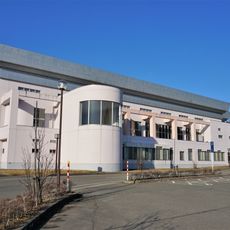
Kotooka General Gymnasium
32.6 km
Noshiro City Children's Museum
38.7 km
能代区検察庁
38.6 km
Akita City History Museum of Akita Fort Ruins
37.6 kmReviews
Visited this place? Tap the stars to rate it and share your experience / photos with the community! Try now! You can cancel it anytime.
Discover hidden gems everywhere you go!
From secret cafés to breathtaking viewpoints, skip the crowded tourist spots and find places that match your style. Our app makes it easy with voice search, smart filtering, route optimization, and insider tips from travelers worldwide. Download now for the complete mobile experience.

A unique approach to discovering new places❞
— Le Figaro
All the places worth exploring❞
— France Info
A tailor-made excursion in just a few clicks❞
— 20 Minutes