Mount Ōkura, mountain in Tottori Prefecture, Japan
Location: Nichinan
Elevation above the sea: 1,112 m
GPS coordinates: 35.13372,133.35522
Latest update: March 15, 2025 10:12

Adachi Museum of Art
31.1 km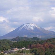
Daisen
31.5 km
Gassantoda Castle
29.6 km
Himesakakanachiana Limestone Cave
28.3 km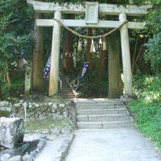
Kamochi Jinja
13.1 km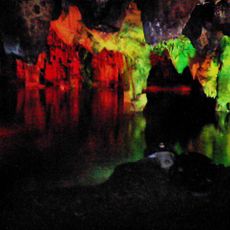
Maki-do Cave
27.5 km
Shoji Ueda Museum of Photography
29.5 km
Okuizumo Orochi Loop
21.2 km
Hiruzen Kōgen Center
30.9 km
Kiyomizu-dera
30.6 km
Nishie Residence
30.7 km
鬼之舌震
30.5 km
Ikura Gorge
27.7 km
Yonago Convention Center
32 km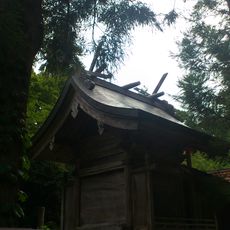
比婆山久米神社
22.7 km
Atetsu Dai
19.9 km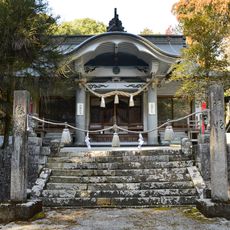
Himesaka Kanachiana-jinja
28.3 km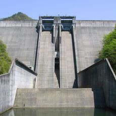
Matanoagawa Dam
18.9 km
Stadt- und Zentralbibliothek Maniwa
31 km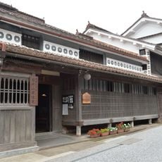
Former Katayama Residence
32 km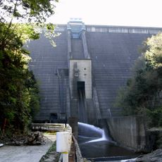
Sugesawa Dam
8.8 km
Iwaya-ji
24 km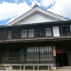
Fukiya Historical Museum
32 km
Fukuichi Site
29.9 km
Hishio
31.1 km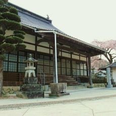
Renshoji
31.3 km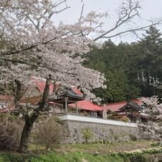
Chōshō-ji
29.4 km
Adachi Museum of Art Museum Shop
31.1 kmVisited this place? Tap the stars to rate it and share your experience / photos with the community! Try now! You can cancel it anytime.
Discover hidden gems everywhere you go!
From secret cafés to breathtaking viewpoints, skip the crowded tourist spots and find places that match your style. Our app makes it easy with voice search, smart filtering, route optimization, and insider tips from travelers worldwide. Download now for the complete mobile experience.

A unique approach to discovering new places❞
— Le Figaro
All the places worth exploring❞
— France Info
A tailor-made excursion in just a few clicks❞
— 20 Minutes