
Mount Shiro, mountain in Nara, Nara Prefecture, Japan; geonames ID = 9633340
Location: Nara Prefecture
Location: Nara
Elevation above the sea: 528 m
Part of: Nara 100 Mountains
GPS coordinates: 34.63878,135.88707
Latest update: April 1, 2025 03:22


Kasuga-taisha
5.9 km
Shin-Yakushi-ji
5.6 km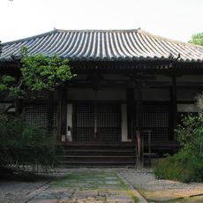
Byakugō-ji
4.8 km
Obitoke-dera
5.6 km
Shōryaku-ji
1.8 km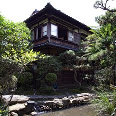
Former House of Naoya Shiga
5.9 km
Enomoto Shrine
5.9 km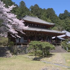
Kōnin-ji
3.3 km
Yashima no Misasagi
4.3 km
Irie Taikichi Memorial Museum of Photography Nara City
5.6 km
Kubikiri Jizō
4.2 km
Kibizuka Kofun
5.5 km
Fukū-in
5.6 km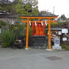
Himegamisha Shrine
5.5 km
Kakuya-dera
5.6 km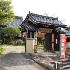
龍象寺
5.5 km
Akai-ana
5.9 km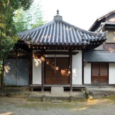
Enman-ji
5.3 km
Uwanarizuka Kofun
4.5 km
Isonokami Ōtsuka Kofun
4.6 km
Saishō-ji
5.2 km
Bessho Ōtsuka Kofun
5.4 km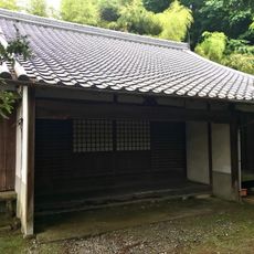
地福寺 (奈良市)
2 km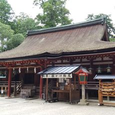
Isonokami Shrine
5.5 km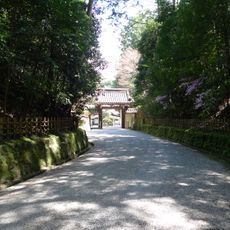
Enshō-ji
3.9 km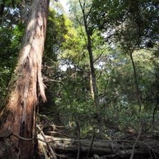
Kasugayama Primeval Forest
5.4 km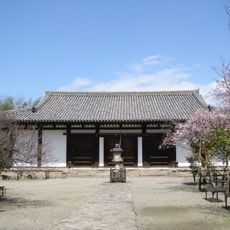
Main Hall, Shin-Yakushiji
5.6 km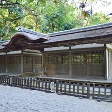
Haiden, Izumo Takeo Shrine, Isonokami Shrine
5.6 kmReviews
Visited this place? Tap the stars to rate it and share your experience / photos with the community! Try now! You can cancel it anytime.
Discover hidden gems everywhere you go!
From secret cafés to breathtaking viewpoints, skip the crowded tourist spots and find places that match your style. Our app makes it easy with voice search, smart filtering, route optimization, and insider tips from travelers worldwide. Download now for the complete mobile experience.

A unique approach to discovering new places❞
— Le Figaro
All the places worth exploring❞
— France Info
A tailor-made excursion in just a few clicks❞
— 20 Minutes