
大船橋, 大阪市、木津川運河に架かる橋
Location: Taishō-ku
Inception: 1978
Length: 113.3 m
Width: 15.56 m
GPS coordinates: 34.63140,135.46794
Latest update: May 3, 2025 05:00
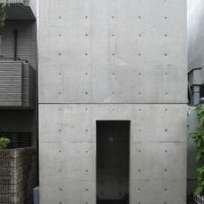
Row House in Sumiyoshi
3.2 km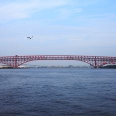
Minato Bridge
3.1 km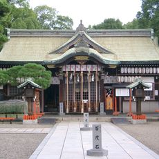
Abeno Shrine
3 km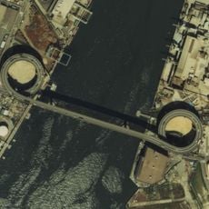
Senbonmatsu Bridge
741 m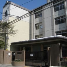
大阪市立新今宮小学校・今宮中学校
3.4 km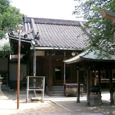
Shōen-ji
3.3 km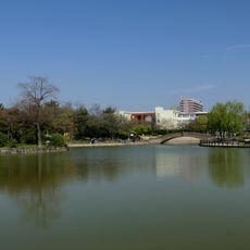
Suminoe Park
2.2 km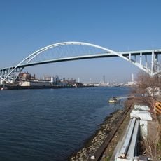
Shin-Kizugawa Bridge
786 m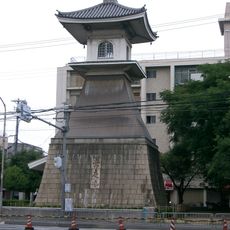
Sumiyoshi Park
2.8 km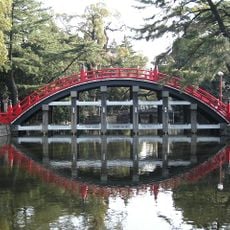
Sorihashi Bridge
3.1 km
Daikai Shrine
3.1 km
Tenmangu
2.7 km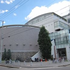
アゼリア大正
1.8 km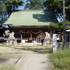
Naniwa Shrine
3.1 km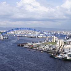
Chitose bridge
1.9 km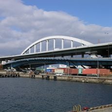
南港大橋
3.3 km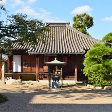
Shōgonjōdo-ji
3.6 km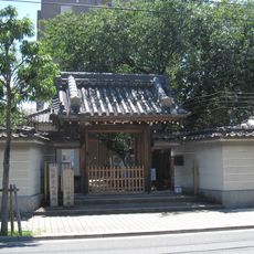
安養寺
2.8 km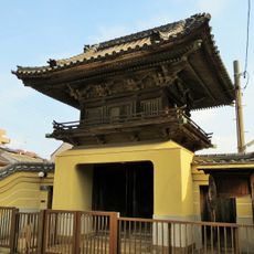
源正寺
3.6 km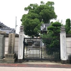
長法寺
3.4 km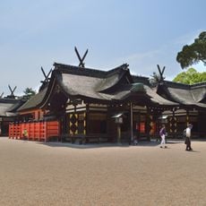
Sumiyoshi-taisha
3.2 km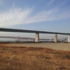
Namihaya Bridge
2.2 km
Sumiyoshi Angū
3.5 km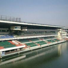
Boat Race Suminoe
2.2 km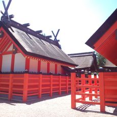
Sumiyoshi-taisha Daiyon-honden
3.1 km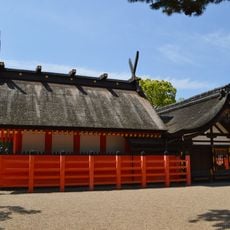
Sumiyoshi-taisha Daini-honden
3.1 km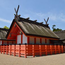
Sumiyoshi-taisha Daisan-honden
3.1 km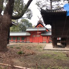
Sumiyoshi-taisha Daiichi-honden
3.2 kmReviews
Visited this place? Tap the stars to rate it and share your experience / photos with the community! Try now! You can cancel it anytime.
Discover hidden gems everywhere you go!
From secret cafés to breathtaking viewpoints, skip the crowded tourist spots and find places that match your style. Our app makes it easy with voice search, smart filtering, route optimization, and insider tips from travelers worldwide. Download now for the complete mobile experience.

A unique approach to discovering new places❞
— Le Figaro
All the places worth exploring❞
— France Info
A tailor-made excursion in just a few clicks❞
— 20 Minutes