植柳橋側道橋, bridge located in Yatsushiro, Kumamoto, Japan
Location: Yatsushiro
Length: 297.3 m
GPS coordinates: 32.49354,130.59983
Latest update: April 5, 2025 22:04
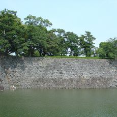
Yatsushiro Castle
1.5 km
Uto Castle
21.2 km
Shakain
23.9 km
Sashiki Castle
23.1 km
Kyūsendō
24.4 km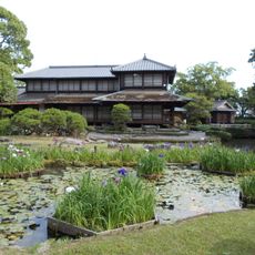
Shōhin-ken
1.8 km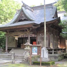
Kōsa-jinja
27.6 km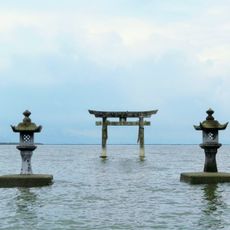
Einoo-jinja
15.5 km
Hoshino Tomihiro Museum of Art・Ashikita
26.4 km
Yatsushiro Municipal Museum
1.7 km
粟嶋神社
23.2 km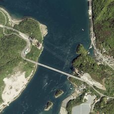
天城橋
18.7 km
わくわく海中水族館シードーナツ
16.6 km
Matsubase-jinja
19.1 km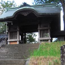
長寿寺 (熊本市)
25.4 km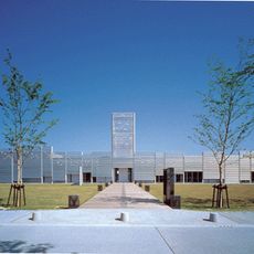
Shiranui Museum
18.3 km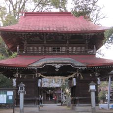
宮地神社 (七所宮)
27.4 km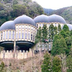
Kyūsendō Forest Museum
24.2 km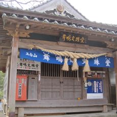
Mōshigi monju-dō
19 km
Tōfuku-ji
17 km
三宝寺 (宇城市)
15.7 km
Iō-ji
1.5 km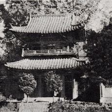
正覚寺 (宇城市)
16.3 km
Kumamoto Civil Astronomical Observatory
25.4 km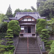
Sesshu-ji
16.6 km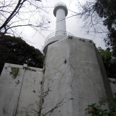
Sumiyoshi Lighthouse
23.9 km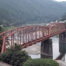
Kumagawa Railway Bridge No.1
12.8 km
Maejima Bridge
17 kmReviews
Visited this place? Tap the stars to rate it and share your experience / photos with the community! Try now! You can cancel it anytime.
Discover hidden gems everywhere you go!
From secret cafés to breathtaking viewpoints, skip the crowded tourist spots and find places that match your style. Our app makes it easy with voice search, smart filtering, route optimization, and insider tips from travelers worldwide. Download now for the complete mobile experience.

A unique approach to discovering new places❞
— Le Figaro
All the places worth exploring❞
— France Info
A tailor-made excursion in just a few clicks❞
— 20 Minutes