Taegwan-bong, Berggipfel in Nordkorea
Location: South Hamgyong Province
GPS coordinates: 39.44722,127.45917
Latest update: March 6, 2025 12:10
International Friendship Exhibition
124 km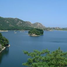
Mount Kumgang Tourist Region
106 km
Changjin Reservoir
119 km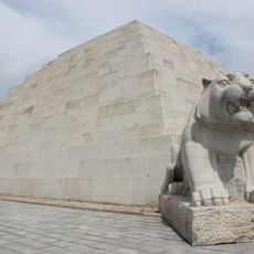
Mausoleum of Tangun
125.3 km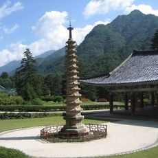
Bohyeonsa
122 km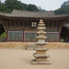
Pyohunsa
105.1 km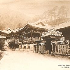
Sogwangsa
51.1 km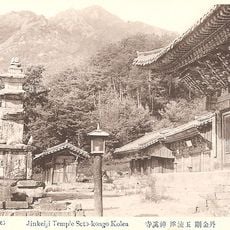
Singyesa
105.9 km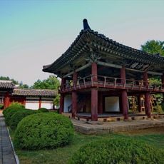
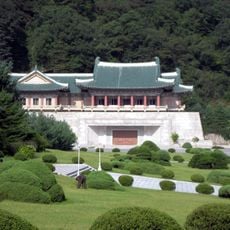
Hamhung Royal Villa
45.2 km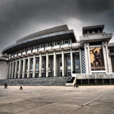
Hamhung Grand Theatre
52.5 km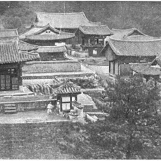
Yujomsa
113.8 km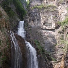
Ullim Falls
39.1 km
Songdowŏn
29.5 km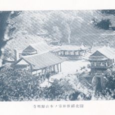
Kwijusa
58.7 km
Pongnae-ho
117.5 km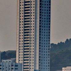
Pukmang Tower
32.1 km
Chuktae-ho
129.3 km
Pujŏn-ho
129.8 km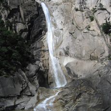
Kuryong-yŏn
104.9 km
Pongdŏk-chŏsuji
93.8 km
Puch'ŏn-jŏsuji
62.6 km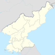
Sindang-jŏsuji
116.6 km
Tarŭn-jŏsuji
133.3 km
Kamdun-jŏsuji
109.8 km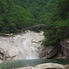
Horyong-bong (tumoy sa bukid sa Amihanang Korea)
113 km
Oryu-jŏsuji
98.3 km
Sanbuk-chŏsuji
118.3 km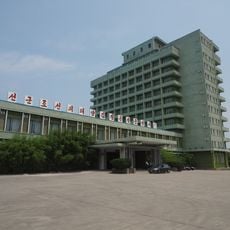
Songdowon Hotel
30.6 kmReviews
Visited this place? Tap the stars to rate it and share your experience / photos with the community! Try now! You can cancel it anytime.
Discover hidden gems everywhere you go!
From secret cafés to breathtaking viewpoints, skip the crowded tourist spots and find places that match your style. Our app makes it easy with voice search, smart filtering, route optimization, and insider tips from travelers worldwide. Download now for the complete mobile experience.

A unique approach to discovering new places❞
— Le Figaro
All the places worth exploring❞
— France Info
A tailor-made excursion in just a few clicks❞
— 20 Minutes