
Saka, village in Pāvilosta Municipality, Latvia
Location: Saka Parish
Elevation above the sea: 5 m
GPS coordinates: 56.85333,21.21083
Latest update: March 4, 2025 04:15
Cīrava Manor
16.9 km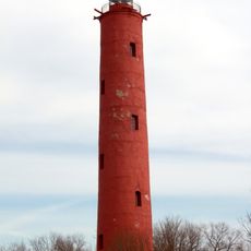
Akmeņrags lighthouse
9.7 km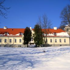
Apriķi Manor
18.9 km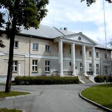
Vērgale Palace
17.3 km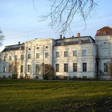
Dzērve Manor
16.4 km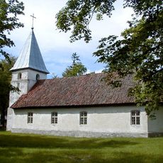
Saint Joseph church in Jūrkalne
19.9 km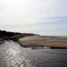
Ziemupe
9.9 km
The Grey Dune of Pavilosta
4.8 km
Užavas augštece
20.9 km
Saint John the Baptist church in Gudenieki
23.9 km
Gudenieki
22.6 km
Baltijas ledus ezera krasta valnis pie Rīvas
7.9 km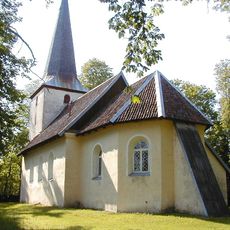
Lutheran church in Apriķi
18.2 km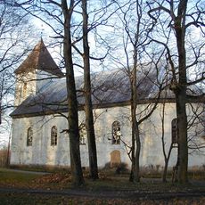
Cīrava Lutheran church
16.8 km
Staļļi
17 km
Lutheran church in Ziemupe
15.3 km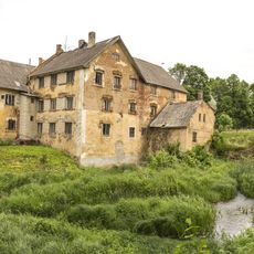
Cīravas ūdensdzirnavas
16.8 km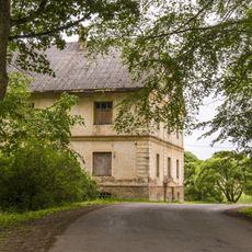
Kalpu māja
16.9 km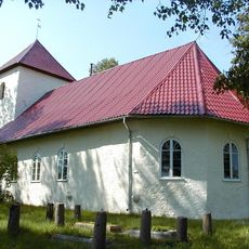
Lutheran church in Saka
90 m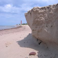
Akmeņrags Protected Sea Area
15.2 km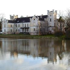
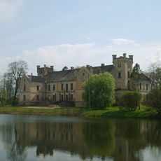
Pils
16.9 km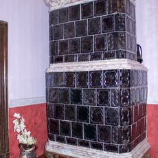
Tiled stove in Apriķi Manor
18.9 km
Apriķu muižas dzīvojamā ēka
18.9 km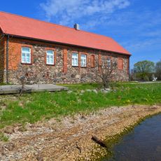
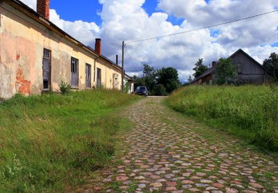
Bijusī Pāvilostas Loču māja ar laivu novietni un Sakas upes krasta bruģi
4.6 km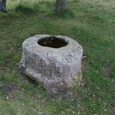
Piņņu Upurakmens - kulta vieta
9.7 km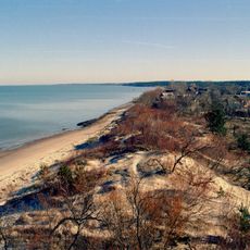
Pavilosta
4.8 km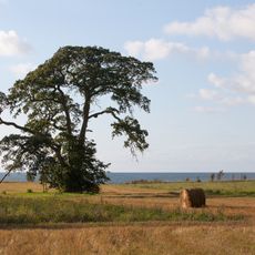
Strantes–Ulmales stāvkrasts
8.4 km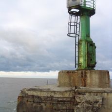
Pāvilosta west breakwater light
5.2 kmReviews
Visited this place? Tap the stars to rate it and share your experience / photos with the community! Try now! You can cancel it anytime.
Discover hidden gems everywhere you go!
From secret cafés to breathtaking viewpoints, skip the crowded tourist spots and find places that match your style. Our app makes it easy with voice search, smart filtering, route optimization, and insider tips from travelers worldwide. Download now for the complete mobile experience.

A unique approach to discovering new places❞
— Le Figaro
All the places worth exploring❞
— France Info
A tailor-made excursion in just a few clicks❞
— 20 Minutes