
Ait Imour, rural commune in Morocco
Location: Marrakesh Prefecture
GPS coordinates: 31.54556,-8.29667
Latest update: March 8, 2025 10:17
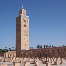
Koutoubia Mosque
30 km
Majorelle Garden
29.8 km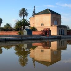
Menara gardens
27 km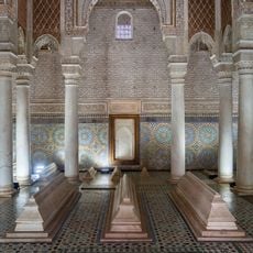
Saadian Tombs
30.3 km
Dar el Bacha
30.4 km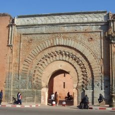
Bab Agnaou
30.1 km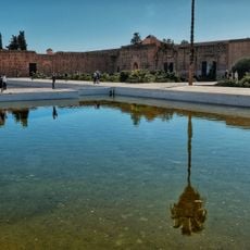
El Badi Palace
30.5 km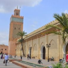
Al-Mansur Mosque
30.3 km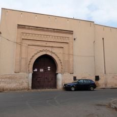
Bab Dukkala
29.9 km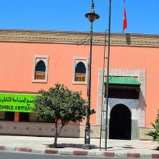
Ensemble Artisanal
29.9 km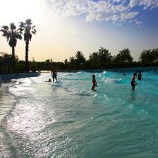
Oasiria
27 km
Bab Ksiba
30.1 km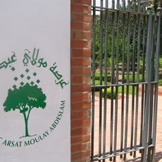
Arsat Moulay Abdessalam Garden
29.6 km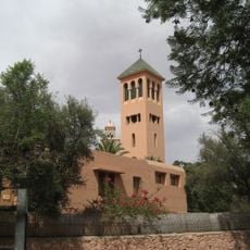
Church of the Saints Martyrs
29 km
Bab er-Robb
30.1 km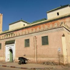
Bab Doukkala Mosque
30.1 km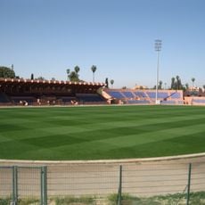
Stade El Harti
28.7 km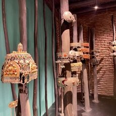
Le MAP Marrakech
30.4 km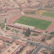
Sidi-Youssef-Ben-Ali stadium
29.7 km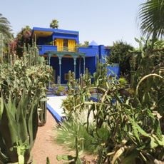
Berber Museum
29.8 km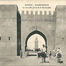
Bab El Jdid
29.5 km
Comptoir des Mines Galerie
28.6 km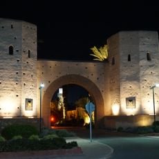
Bab al-Makhzen
29.5 km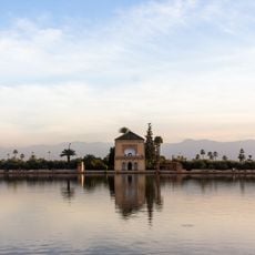
Menara Bassin
27.1 km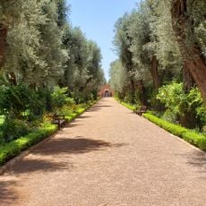
Mamounia garden
29.6 km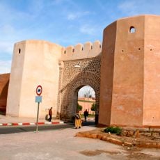
Bab Laarissa
29.7 km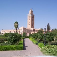
Koutoubia Gardens
29.9 km
Royal Theatre
28.3 kmReviews
Visited this place? Tap the stars to rate it and share your experience / photos with the community! Try now! You can cancel it anytime.
Discover hidden gems everywhere you go!
From secret cafés to breathtaking viewpoints, skip the crowded tourist spots and find places that match your style. Our app makes it easy with voice search, smart filtering, route optimization, and insider tips from travelers worldwide. Download now for the complete mobile experience.

A unique approach to discovering new places❞
— Le Figaro
All the places worth exploring❞
— France Info
A tailor-made excursion in just a few clicks❞
— 20 Minutes