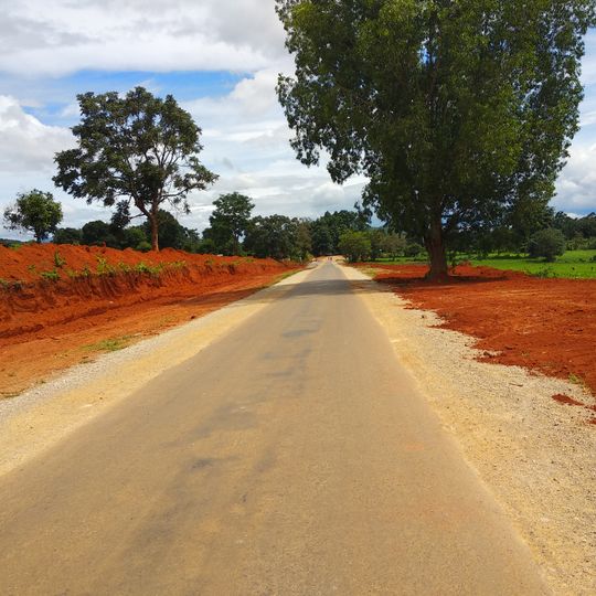
Hopong Township, township in Shan State, Burma
Location: Taunggyi District
GPS coordinates: 20.78333,97.18333
Latest update: October 29, 2025 16:02

Panglong University
44.7 km
ထမ်ဆန်းဂူ
17 km
Food night market
15.4 km
A Wai Yar FireBalloons Festival area
14.3 km
နှင်းဆီခြံ
15 km
UN office
14.6 km
Htan san cave
16.2 km
Heave
1.7 km
BeFresh Firm
16.5 km
Yoma Art Space
15.5 km
Dream music studio
14.6 km
Shiyer Guitar shop
14.9 km
ဒေါ်နန်းခင်နု
14.5 km
AC Paradise
14.7 km
Hot air balloon viewing
14.3 km
Taungi lantern
14.7 km
View over Taunggyin
13.7 km
Viewpoint behind the Temple
13.6 km
Scenic viewpoint
14.2 km
Medihub Farm KK Easy
67.9 km
မြင်းရုပ်
15.3 km
တည္းခို ဘုန္းႀကီးေက်ာင္း
15.4 km
Monument
15.9 km
တိုက္ခြဲ(၃၂) သဲအင္းဂူ ၾသဝါဒခံ ဓမၼေအာင္လံ ဝိပႆနာရိပ္သာ (ေတာင္ႀကီးၿမိဳ႕)
17.9 km
ကျောက်တိုင်ကွင်း
15 km
Monument
15.5 km
တံခွန်တိုင်
14.5 km
ပြည်ထောင်စု ကျောက်တိုင်
42.2 kmReviews
Visited this place? Tap the stars to rate it and share your experience / photos with the community! Try now! You can cancel it anytime.
Discover hidden gems everywhere you go!
From secret cafés to breathtaking viewpoints, skip the crowded tourist spots and find places that match your style. Our app makes it easy with voice search, smart filtering, route optimization, and insider tips from travelers worldwide. Download now for the complete mobile experience.

A unique approach to discovering new places❞
— Le Figaro
All the places worth exploring❞
— France Info
A tailor-made excursion in just a few clicks❞
— 20 Minutes
