
Kyaukme Township, township in Shan State, Burma
Location: Kyaukme District
Elevation above the sea: 775 m
GPS coordinates: 22.61667,96.90000
Latest update: March 3, 2025 13:40

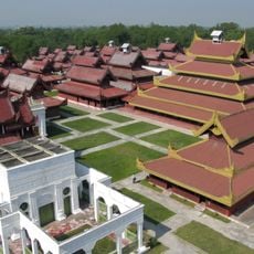
Mandalay Palace
108.1 km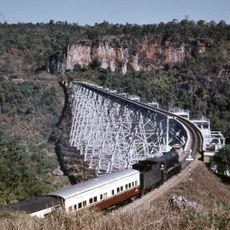
Goteik viaduct
30.7 km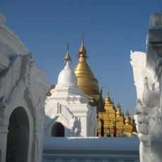
Kuthodaw Pagoda
105.9 km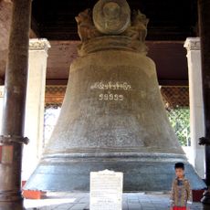
Mingun Bell
110.4 km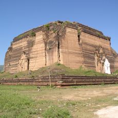
Mingun Pahtodawgyi
110.6 km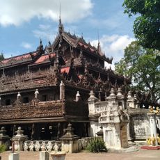
Shwenandaw Monastery
106.1 km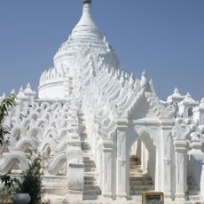
Hsinbyume Pagoda
110.3 km
National Kandawgyi Botanical Gardens
82.2 km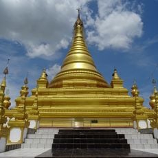
Sandamuni Pagoda
106.2 km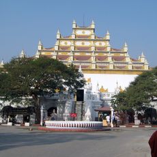
Atumashi Monastery
106.2 km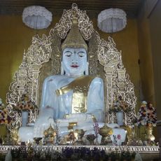
Kyauktawgyi Buddha Temple
106.4 km
Yadanabon Zoological Gardens
106.8 km
Mandalarthiri Stadium
111.5 km
Bahtoo Stadium
108.4 km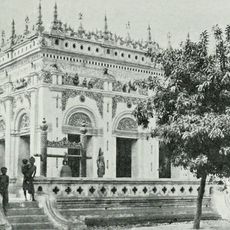
Yaw Mingyi Monastery
106.4 km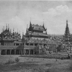
Salin Monastery
107.2 km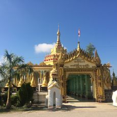
Bawgyo Pagoda
34.5 km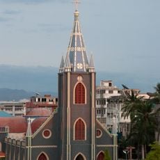
Sacred Heart Cathedral, Mandalay
110 km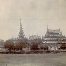
Taiktaw Monastery
107.1 km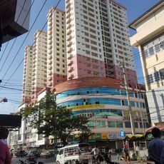
Man Myanmar Plaza
110.4 km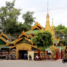
Tawagu Pagoda
109.3 km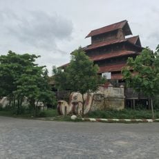
Maha Min Htin Monastery
111.8 km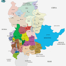
Kyawkku
90.9 km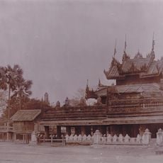
Mogaung Monastery
106.4 km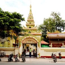
Shwekyimyint Pagoda
109.7 km
Man Thida Park
108.8 km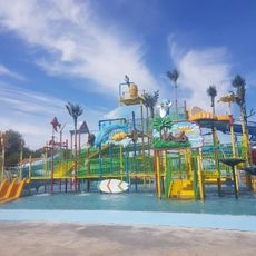
Little Stars Water Park
104.8 km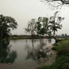
Lashio Hot spring
99 kmReviews
Visited this place? Tap the stars to rate it and share your experience / photos with the community! Try now! You can cancel it anytime.
Discover hidden gems everywhere you go!
From secret cafés to breathtaking viewpoints, skip the crowded tourist spots and find places that match your style. Our app makes it easy with voice search, smart filtering, route optimization, and insider tips from travelers worldwide. Download now for the complete mobile experience.

A unique approach to discovering new places❞
— Le Figaro
All the places worth exploring❞
— France Info
A tailor-made excursion in just a few clicks❞
— 20 Minutes