
Uiterbuursterpolder, polder in Midden-Groningen, Nederland
Location: Midden-Groningen
Inception: February 3, 1800
GPS coordinates: 53.24660,6.80449
Latest update: March 25, 2025 22:00


Hervormde kerk
2.4 km
Hervormde kerk
1.7 km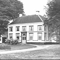
Geertsemaheerd (Slochteren)
3.1 km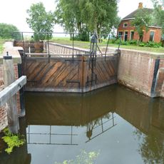
Haanssluis
2.4 km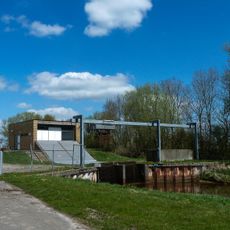
Gemaal Sans Souci
1.9 km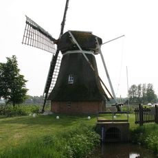
Fraeylemamolen
3 km
Kandelaarkerk
2.7 km
Hoofdweg 27
2.3 km
Welgelegen (Schildwolde)
1.8 km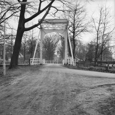
Ophaalbrug Slochterhaven
3.3 km
Hoofdweg 14, Slochteren
3.1 km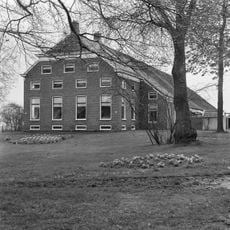
Luitenantsheerd
1.7 km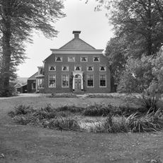
Duurswold
1.8 km
Hoofdweg 95
2 km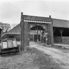
Vinckersum
1.2 km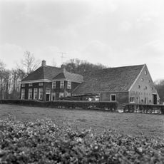
Hoofdweg 9
3.3 km
Hoofdweg 17, Slochteren
3.3 km
Torenhoeve
1.8 km
Helmheerd
2.4 km
Het Hooge Huis
3.2 km
Hoofdweg 48 (Schildwolde)
2.5 km
Hoofdweg 19, Slochteren
3.4 km
Hoofdweg 194 (Schildwolde)
1.6 km
Hoofdweg 24
3.3 km
Oldambtster boerderij met links één en rechts twee krimpen
1.8 km
Fraeylemaborg, westelijke boerderij
2.8 km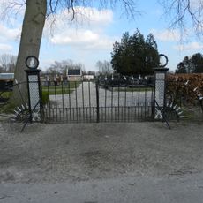
Algemene begraafplaats, toegangshek
1.9 km
Jeldingaheerd
1.7 kmReviews
Visited this place? Tap the stars to rate it and share your experience / photos with the community! Try now! You can cancel it anytime.
Discover hidden gems everywhere you go!
From secret cafés to breathtaking viewpoints, skip the crowded tourist spots and find places that match your style. Our app makes it easy with voice search, smart filtering, route optimization, and insider tips from travelers worldwide. Download now for the complete mobile experience.

A unique approach to discovering new places❞
— Le Figaro
All the places worth exploring❞
— France Info
A tailor-made excursion in just a few clicks❞
— 20 Minutes