
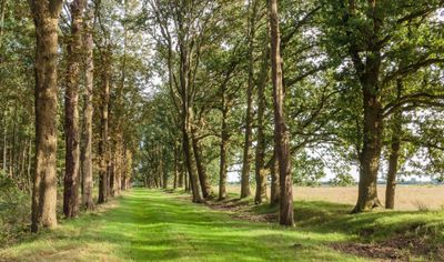
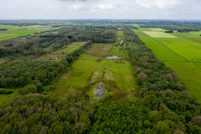
Ketliker Skar, natural landscape in Friesland
Location: Friesland
Website: http://itfryskegea.nl/Natuurgebied/Ketliker-Skar
GPS coordinates: 52.93357,6.03775
Latest update: March 25, 2025 21:54

Ecokathedraal
2.9 km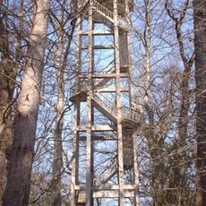
Belvedere tower, Oranjewoud
4.3 km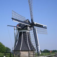
Tjongermolen
2.9 km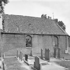
Hervormde kerk, Mildam
2.6 km
Thomaskerk, Katlijk
2.5 km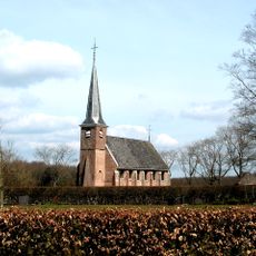
Nicolaaskerk, Nijeholtpade
3.8 km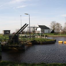
Sluice I
3.2 km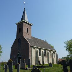
Bonifatiuskerk
3.2 km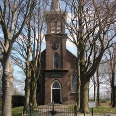
Kerk, Oldeholtwolde
3.6 km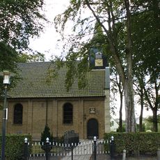
Kerk van Nieuwehorne
2.2 km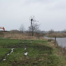
Windmotor Nijeholtpade
2.1 km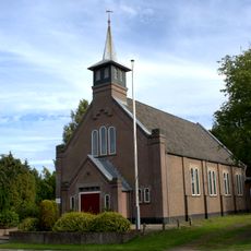
Church Oudehorne
3.2 km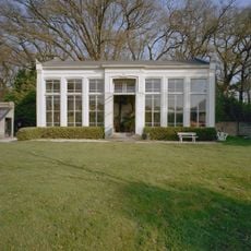
Oranjerie Oranjestein
4.3 km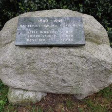
Oorlogsmonument
2.2 km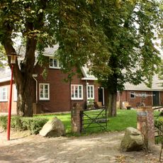
Oud Hogeveen
3.4 km
Oranjehoeve
3.7 km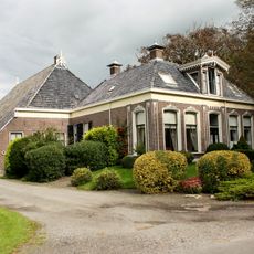
Eerste Compagnonsweg 1, Bontebok
3.5 km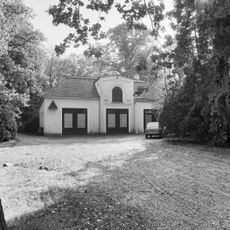
Koetshuis Oranjestein
4.3 km
Woonhuis in Interbellum-architectuur
2.3 km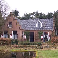
't Slotsje
786 m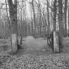
Tjaarda's Bos/Belvédère: hekpijlers
4 km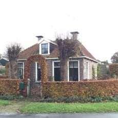
Arbeiderswoning
3.3 km
Bieruma Oostingweg 11, Oranjewoud
4.3 km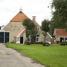
Boerderij met Saksisch voorhuis en Friese schuur
1.5 km
Voormalige sluiswachterswoning
3.4 km
Saksische boerderij
3.3 km
Kop-rompboerderij
4.2 km
Tjaarda's Bos/Belvédère: wandelpark
4.2 kmReviews
Visited this place? Tap the stars to rate it and share your experience / photos with the community! Try now! You can cancel it anytime.
Discover hidden gems everywhere you go!
From secret cafés to breathtaking viewpoints, skip the crowded tourist spots and find places that match your style. Our app makes it easy with voice search, smart filtering, route optimization, and insider tips from travelers worldwide. Download now for the complete mobile experience.

A unique approach to discovering new places❞
— Le Figaro
All the places worth exploring❞
— France Info
A tailor-made excursion in just a few clicks❞
— 20 Minutes