
Sint-Salvatorkerk, church building in Utrecht, Netherlands
Location: Utrecht
Inception: 1962
Architects: Godefridus Maria Leeuwenberg
Address: Pionstraat 3-5, Utrecht
GPS coordinates: 52.11352,5.09416
Latest update: March 10, 2025 04:27
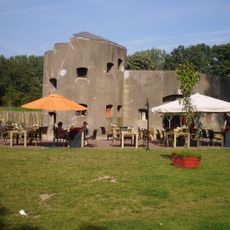
Fort Klop
751 m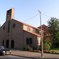
Sint-Jacobuskerk
846 m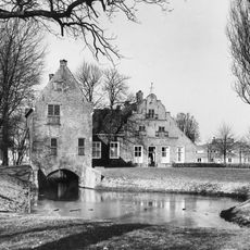
Chartreuse Saint-Sauveur de la Nouvelle-Lumière
678 m
Noorderbad
354 m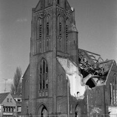
Sint-Ludgeruskerk
711 m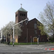
Bethelkerk
854 m
Oranjekerk, Utrecht
874 m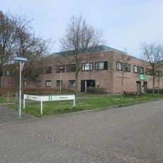
Stefanuskerk
799 m
Huis Roosendaal in Utrecht
549 m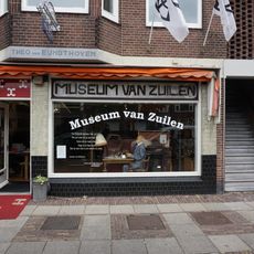
Museum van Zuilen
762 m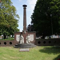
Monument voor Zuilense Gevallenen
781 m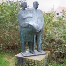
Nynkeplantsoen
556 m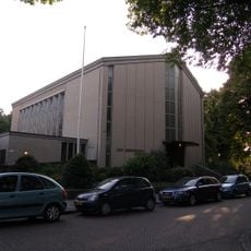
Opstandingskerk
602 m
Marnixbrug
594 m
J.M. de Muinck Keizerbrug
830 m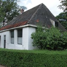
Klopdijk 2, Utrecht
616 m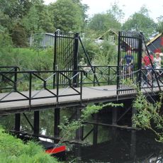
Fort aan de Klop, brug
778 m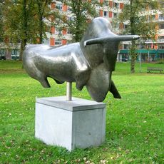
Wending
365 m
Twee handen; Het zwangere paar
528 m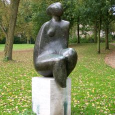
Zittende vrouwentorso
418 m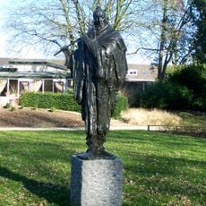
Fluitspeler
862 m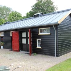
Fort aan de Klop
741 m
Fort aan de Klop, houten artillerieloods
741 m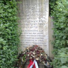
Monument op de Israëlitische begraafplaats
709 m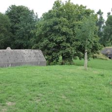
Fort aan de Klop, vier groepsschuilplaatsen
741 m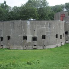
Fort aan de Klop, bomvrij wachthuis
741 m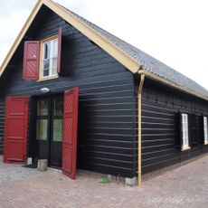
Fort aan de Klop, houten opslagloods
741 m
Fort aan de Klop, fortwachterswoning
681 mReviews
Visited this place? Tap the stars to rate it and share your experience / photos with the community! Try now! You can cancel it anytime.
Discover hidden gems everywhere you go!
From secret cafés to breathtaking viewpoints, skip the crowded tourist spots and find places that match your style. Our app makes it easy with voice search, smart filtering, route optimization, and insider tips from travelers worldwide. Download now for the complete mobile experience.

A unique approach to discovering new places❞
— Le Figaro
All the places worth exploring❞
— France Info
A tailor-made excursion in just a few clicks❞
— 20 Minutes