
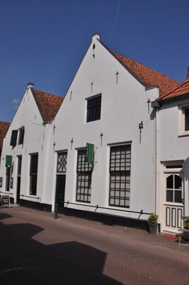
Achterstraat 46, Hattem, Rijksmonument op Achterstraat 46
Location: Hattem
Address: Achterstraat 46 8051GC
GPS coordinates: 52.47518,6.06719
Latest update: March 5, 2025 22:48
De Fortuin
46 m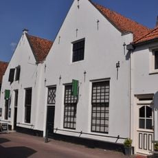
Voerman Stadsmuseum Hattem
5 m
Synagoge
32 m
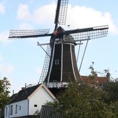
Molenbelt 2, Hattem
25 m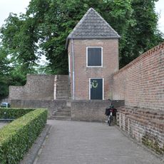
Vestingmuur Hattem
141 m
Molenbelt 4, Hattem
30 m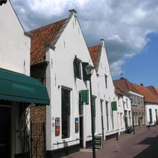
Achterstraat 48, Hattem
9 m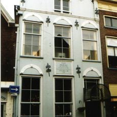
Kerkstraat 9, Hattem
149 m
Klein, gepleisterd huisje onder pannen schilddak
27 m
Kerkstraat 11, Hattem
143 m
Pand met eenvoudige lijstgevel van 19e-eeuws karakter
112 m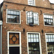
Kerkstraat 29, Hattem
81 m
Kerkstraat 31, Hattem
74 m
Kerkstraat 38, Hattem
28 m
Kerkstraat 39, Hattem
63 m
Achterstraat 34, Hattem
47 m
Achterstraat 30, Hattem
62 m
Kerkstraat 12, Hattem
115 m
Zuidwal 42, Hattem
44 m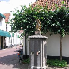
Stadspomp bij Kerkstraat 42, Hattem
27 m
Beloop van de oude vestinggracht van belang uit oogpunt van krijgshistorische waarde
141 m
Achterstraat 25, Hattem
52 m
Oude tuinmuur
124 m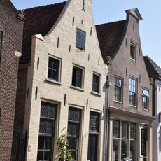
Pand met eenvoudige, gepleisterde klosgevel, met in de top een staafanker. Vrij goed bewaarde onderpui
125 m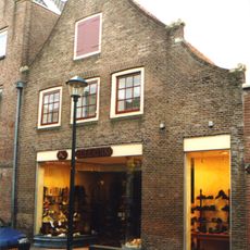
Kerkstraat 23, Hattem
104 m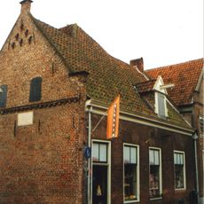
Kerkstraat 27, Hattem
90 m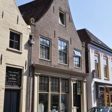
Achterstraat 10, Hattem
131 m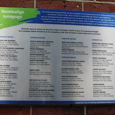
Plaquette aan de voormalige synagoge
31 mVisited this place? Tap the stars to rate it and share your experience / photos with the community! Try now! You can cancel it anytime.
Discover hidden gems everywhere you go!
From secret cafés to breathtaking viewpoints, skip the crowded tourist spots and find places that match your style. Our app makes it easy with voice search, smart filtering, route optimization, and insider tips from travelers worldwide. Download now for the complete mobile experience.

A unique approach to discovering new places❞
— Le Figaro
All the places worth exploring❞
— France Info
A tailor-made excursion in just a few clicks❞
— 20 Minutes