
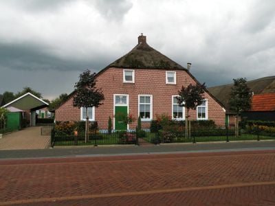
Gemeenteweg 49, Staphorst, Bauernhaus in den Niederlanden
Location: Staphorst
Address: Gemeenteweg 49 7951CC 7951CC
GPS coordinates: 52.64531,6.20561
Latest update: March 6, 2025 12:34
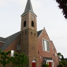
Dorpskerk
109 m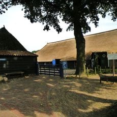
Gemeenteweg 67, Staphorst
187 m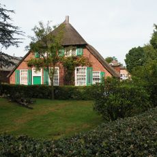
Gemeenteweg 55, Staphorst
139 m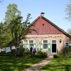
Boerderij Staphorst
264 m
Gemeenteweg 60, Staphorst
196 m
Gemeenteweg 41, Staphorst
34 m
Gemeenteweg 47, Staphorst
63 m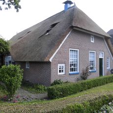
Gemeenteweg 96, Staphorst
376 m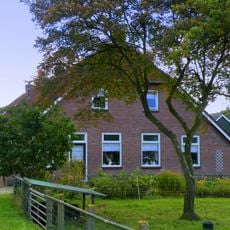
Gemeenteweg 24, Staphorst
158 m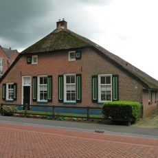
Gemeenteweg 48, Staphorst
58 m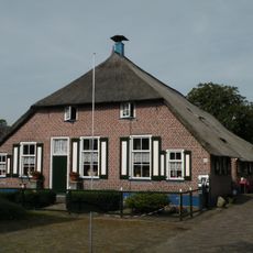
Gemeenteweg 57, Staphorst
144 m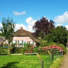
Gemeenteweg 35, Staphorst
130 m
Gemeenteweg 83, Staphorst
314 m
Gemeenteweg 6, Staphorst
195 m
Gemeenteweg 15, Staphorst
181 m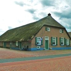
Gave boerderij van het Staphorstse type
64 m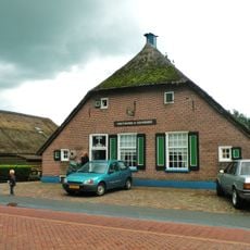
Gemeenteweg 46, Staphorst
61 m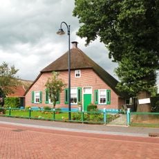
Gemeenteweg 51, Staphorst
25 m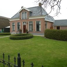
Gemeenteweg 56, Staphorst
171 m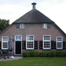
Gemeenteweg 82, Staphorst
371 m
Pastorie, Staphorst
106 m
Kerklaan 5, Staphorst
138 m
In hoofdvorm gaaf bewaarde boerderij van het Staphorstse type
359 m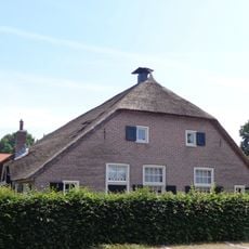
Muldersweg 4, Staphorst
319 m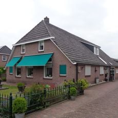
Oude Rijksweg 12, Staphorst
400 m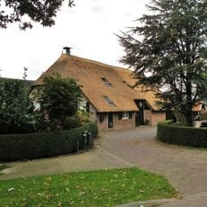
Rijksparallelweg 1, Staphorst
366 m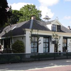
Gemeenteweg 85, Staphorst
356 m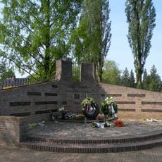
Oorlogsmonument
331 mReviews
Visited this place? Tap the stars to rate it and share your experience / photos with the community! Try now! You can cancel it anytime.
Discover hidden gems everywhere you go!
From secret cafés to breathtaking viewpoints, skip the crowded tourist spots and find places that match your style. Our app makes it easy with voice search, smart filtering, route optimization, and insider tips from travelers worldwide. Download now for the complete mobile experience.

A unique approach to discovering new places❞
— Le Figaro
All the places worth exploring❞
— France Info
A tailor-made excursion in just a few clicks❞
— 20 Minutes