
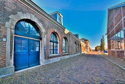
Gebouw 52, building in the Netherlands
Location: Den Helder
Part of: Rijkswerf Willemsoord
Address: Willemsoord
GPS coordinates: 52.95396,4.79845
Latest update: August 4, 2025 10:02
Royal Netherlands Naval College
1.9 km
De Helsdeur
1.1 km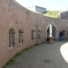
Fort Harssens
1.6 km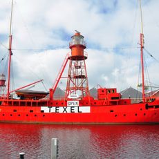
Texel
1.9 km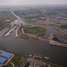
Koopvaarders Lock
1.1 km
Fort Westoever
1.4 km
Fort Oostoever
1.1 km
OLV Onbevlekt Ontvangen
1.9 km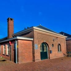
Gebouw 28
0 m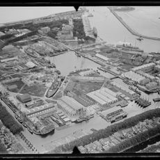
Willemsoord, Weststraat te Den Helder
1.9 km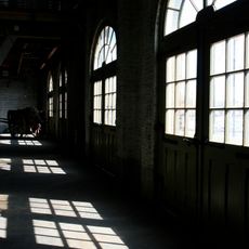
Gebouw 66
0 m
Gebouw 43
0 m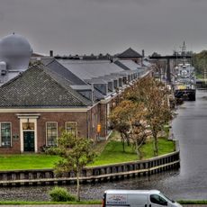
Woonhuis officieren
0 m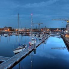
Natte Dok
655 m
Oude Dok
0 m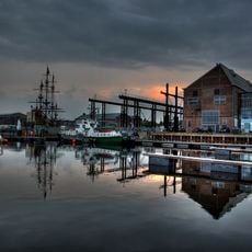
Gebouw 51
0 m
Gebouw 63
0 m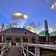
Gebouw 60
0 m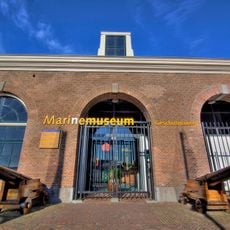
Gebouw 1
0 m
Gebouw 47
0 m
Het Nieuwe Diep 23, Den Helder
1.5 km
Petotjohloods
1.1 km
Commandementsgebouw
1.8 km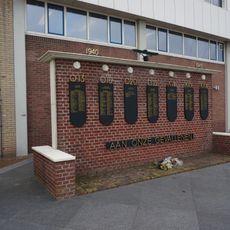
Monument voor de Gevallenen van de Onderzeedienst
934 m
School, ook wel bekend vanwege zijn vorm onder de naam: "'t Klooster" (object R)
0 m
Gebouw I
0 m
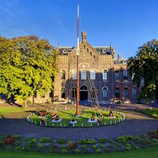
Directiegebouw (object S), ook bekend als "Commandementsgebouw" en "Het Paleis"
0 m
Gebouw 29
0 mReviews
Visited this place? Tap the stars to rate it and share your experience / photos with the community! Try now! You can cancel it anytime.
Discover hidden gems everywhere you go!
From secret cafés to breathtaking viewpoints, skip the crowded tourist spots and find places that match your style. Our app makes it easy with voice search, smart filtering, route optimization, and insider tips from travelers worldwide. Download now for the complete mobile experience.

A unique approach to discovering new places❞
— Le Figaro
All the places worth exploring❞
— France Info
A tailor-made excursion in just a few clicks❞
— 20 Minutes