
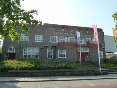
Sittarderweg 143, Heerlen, building in Heerlen, Netherlands
Location: Heerlen
Address: Sittarderweg 143
GPS coordinates: 50.89923,5.97051
Latest update: March 21, 2025 02:44
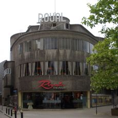
Royal Theater
1.1 km
De Wever-Ziekenhuis
1.4 km
Former administration building Oranje-Nassau coal mines
813 m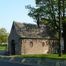
Palemig
1.3 km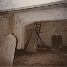
Jewish cemeteries in Heerlen
1.1 km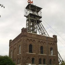
Shaft building Oranje-Nassau I
813 m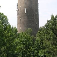
Watertower Heerlen Oranje Nassaumijnen
842 m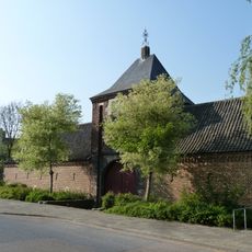
Hoeve Meezenbroek
825 m
Heilig Hart van Jezuskerk
772 m
Sint-Antonius van Paduakerk
1.3 km
Sint-Franciscus van Assisiekerk
1.2 km
Schandelermolen
1.1 km
Villa Duysens
1.2 km
Kinderstad Heerlen
892 m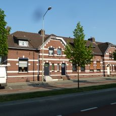
Sittarderweg 90-96, Heerlen
320 m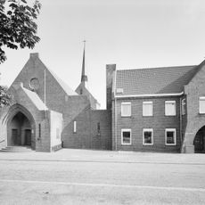
Klooster Sint Antonius van Padua
1.3 km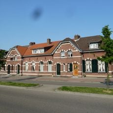
Sittarderweg 74-80, Heerlen
386 m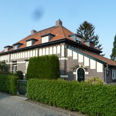
Grasbroek 10, Heerlen
142 m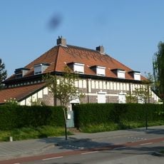
Grasbroek 2, Heerlen
126 m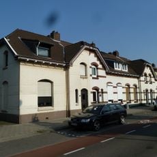
Sittarderweg 82-88, Heerlen
354 m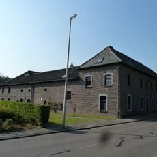
De Baak
851 m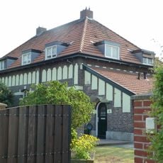
Grasbroek 6, Heerlen
172 m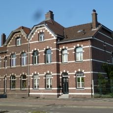
Sittarderweg 70-72, Heerlen
408 m
Sittarderweg 79B, Heerlen
560 m
Grasbroek 9, Heerlen
96 m
Sittarderweg 98-104, Heerlen
288 m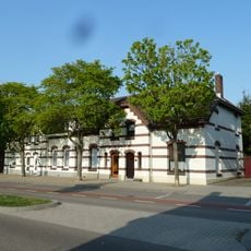
Sittarderweg 106-112, Heerlen
253 m
Grasbroek 1, Heerlen
76 mVisited this place? Tap the stars to rate it and share your experience / photos with the community! Try now! You can cancel it anytime.
Discover hidden gems everywhere you go!
From secret cafés to breathtaking viewpoints, skip the crowded tourist spots and find places that match your style. Our app makes it easy with voice search, smart filtering, route optimization, and insider tips from travelers worldwide. Download now for the complete mobile experience.

A unique approach to discovering new places❞
— Le Figaro
All the places worth exploring❞
— France Info
A tailor-made excursion in just a few clicks❞
— 20 Minutes