
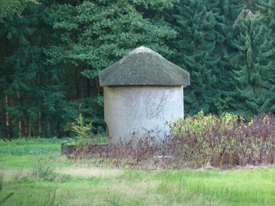
Remmerstein: watertoren, building in Rhenen, Netherlands
Location: Rhenen
Part of: Remmerstein
Address: Oude Veensegrindweg bij 15
GPS coordinates: 51.98172,5.56296
Latest update: March 7, 2025 04:23
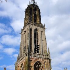
Cunerakerk
2.8 km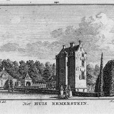
Remmerstein
317 m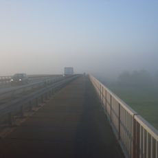
Rhine Bridge
3.4 km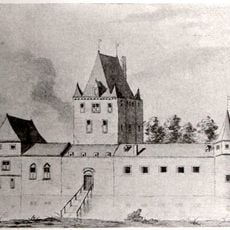
Ter Horst Castle
2.9 km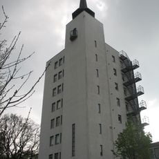
Watertoren
1.9 km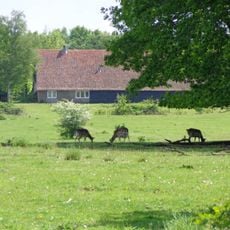
Plantage Willem III
2.4 km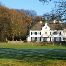
De Tangh
2 km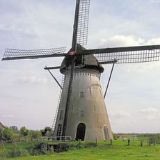
De Marsch
3.4 km
Kasteel Levendaal
3.3 km
Valkenburg
861 m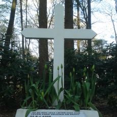
Het kruis op de berg
3 km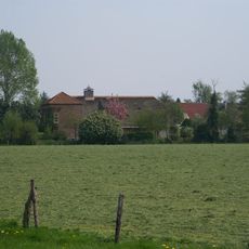
Stuivenes
1.9 km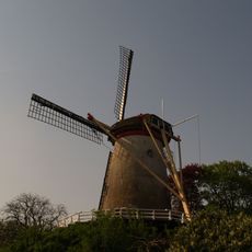
Binnenmolen
2.6 km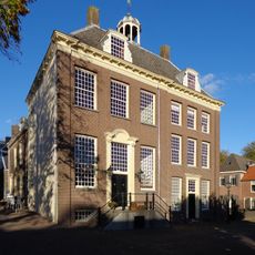
Stadsmuseum Rhenen
2.8 km
Stadhuis, Rhenen
2.8 km
Stadsmuur
2.9 km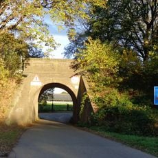
Spoorbrug
1.1 km
Stokweg 1, Rhenen
2 km
Firestation
2.7 km
Utrechtsestraatweg 93, Rhenen
2.1 km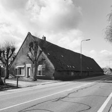
Rijksstraatweg 234, Elst
3.4 km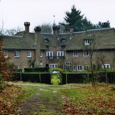
Remmerstein: landhuis
207 m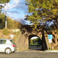
Spoorbrug
929 m
Toren Cunerakerk
2.8 km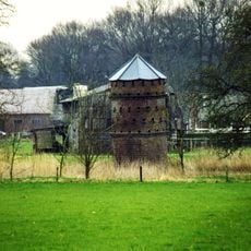
Remmerstein: duiventoren
319 m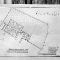
Remmerstein: tuinaanleg
71 m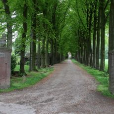
Remmerstein: entreepartij
124 m
De Brakke
2.6 kmReviews
Visited this place? Tap the stars to rate it and share your experience / photos with the community! Try now! You can cancel it anytime.
Discover hidden gems everywhere you go!
From secret cafés to breathtaking viewpoints, skip the crowded tourist spots and find places that match your style. Our app makes it easy with voice search, smart filtering, route optimization, and insider tips from travelers worldwide. Download now for the complete mobile experience.

A unique approach to discovering new places❞
— Le Figaro
All the places worth exploring❞
— France Info
A tailor-made excursion in just a few clicks❞
— 20 Minutes