
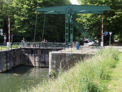
Brug in Fort Willemweg, bridge in Maastricht, Netherlands
Location: Maastricht
Part of: Sluis 19
GPS coordinates: 50.86223,5.68751
Latest update: April 9, 2025 19:32
Zuid-Willemsvaart
575 m
Nieuwe Bossche Fronten
510 m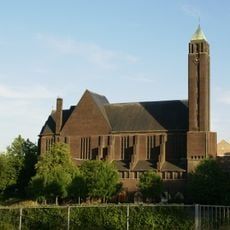
Saint Hubertus Church
93 m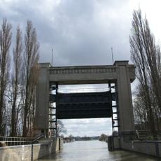
Sluis Bosscherveld
576 m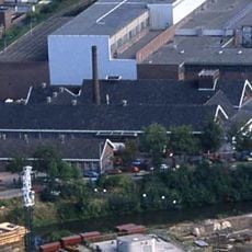
Gemeentelijk Slachthuis
545 m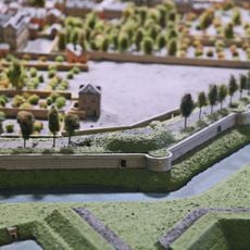
Boschkat
546 m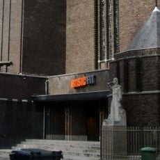
Statue of Sacred Heart of Jesus Christ
72 m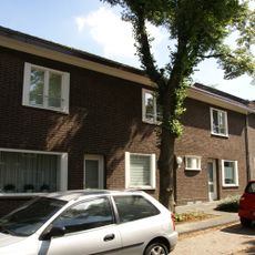
Goltziusstraat 1, Maastricht
185 m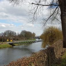
Améliebrug
310 m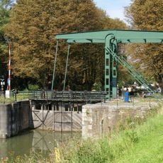
Sluis 19
29 m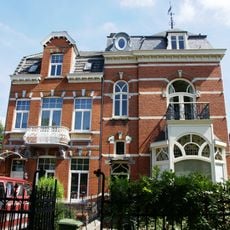
Bosscherweg 185, Maastricht
102 m
Goltziusstraat 27, Maastricht
281 m
Frederic Stroekenstraat 1-9, Maastricht
209 m
Lodewijk de Bisschopstraat 1, Maastricht
242 m
Henri Du Montstraat 2, Maastricht
266 m
Goltziusstraat 2, Maastricht
173 m
Goltziusstraat 13, Maastricht
225 m
Goltziusstraat 16, Maastricht
217 m
Van Eyckstraat 2, Maastricht
228 m
Lodewijk de Bisschopstraat 2, Maastricht
236 m
Gebroeders van Limburgstraat 1, Maastricht
278 m
Voedingskanaalweg 21, Maastricht
156 m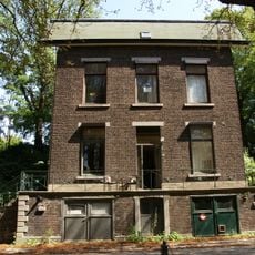
Lockkeeper house Boschpoort
62 m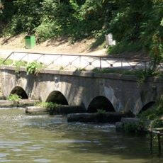
Culvert Boschpoort
130 m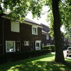
Gebroeders van Limburgstraat 14, Maastricht
254 m
Bosscherweg 201, Maastricht
152 m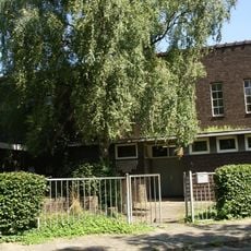
Sint-Alphonsusschool
182 m
Van Eyckstraat 12, Maastricht
183 mReviews
Visited this place? Tap the stars to rate it and share your experience / photos with the community! Try now! You can cancel it anytime.
Discover hidden gems everywhere you go!
From secret cafés to breathtaking viewpoints, skip the crowded tourist spots and find places that match your style. Our app makes it easy with voice search, smart filtering, route optimization, and insider tips from travelers worldwide. Download now for the complete mobile experience.

A unique approach to discovering new places❞
— Le Figaro
All the places worth exploring❞
— France Info
A tailor-made excursion in just a few clicks❞
— 20 Minutes