
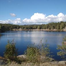
Øvremyr, dam in Kristiansand, Noorwegen
Location: Kristiansand Municipality
GPS coordinates: 58.15119,7.98507
Latest update: May 4, 2025 20:38
Baneheia
280 m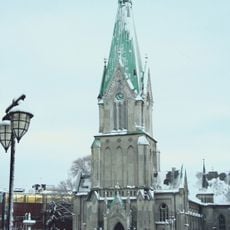
Kristiansand Cathedral
796 m
Ravnedalen
857 m
Eg Sykehus
416 m
Arkivet
763 m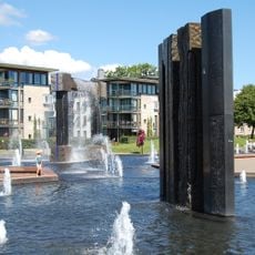
Otterdalsparken
1.2 km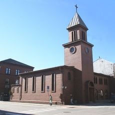
St. Ansgar's Church
1 km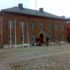
Kristiansand City Hall
860 m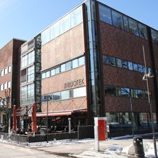
Kristiansand public library
792 m
Lundsbroa
1.2 km
Old Kristiansand Theater building
1.1 km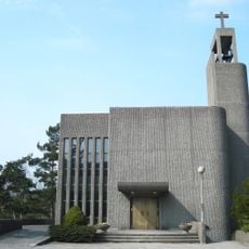
Grim Church
808 m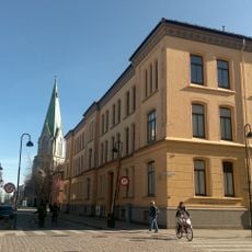
Sørlandets Art Museum
707 m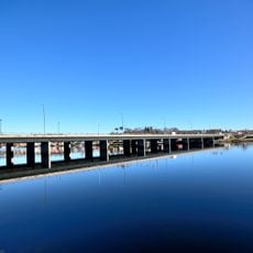
Oddernesbrua
798 m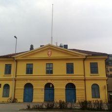
Tollboden
991 m
Ekserserhuset
555 m
Holbergs gate 17, Kristiansand
896 m
Skippergata 43
668 m
SKMU Sørlandets Kunstmuseum
716 m
Kilden Teater
1.1 km
1. Revetjønn
1.3 km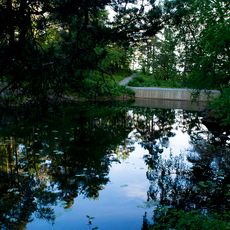
Bånetjønn
997 m
2. Stampetjønn
227 m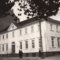
Vestre Strandgate 24
769 m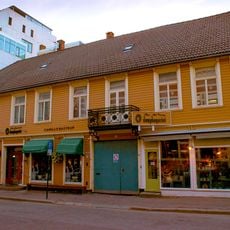
Rådhusgata 5
831 m
Stiftsgården
1.2 km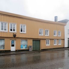
HOLBERGSGATE 17
910 m
Norges Bank - Dronningens gate 30
1 kmReviews
Visited this place? Tap the stars to rate it and share your experience / photos with the community! Try now! You can cancel it anytime.
Discover hidden gems everywhere you go!
From secret cafés to breathtaking viewpoints, skip the crowded tourist spots and find places that match your style. Our app makes it easy with voice search, smart filtering, route optimization, and insider tips from travelers worldwide. Download now for the complete mobile experience.

A unique approach to discovering new places❞
— Le Figaro
All the places worth exploring❞
— France Info
A tailor-made excursion in just a few clicks❞
— 20 Minutes